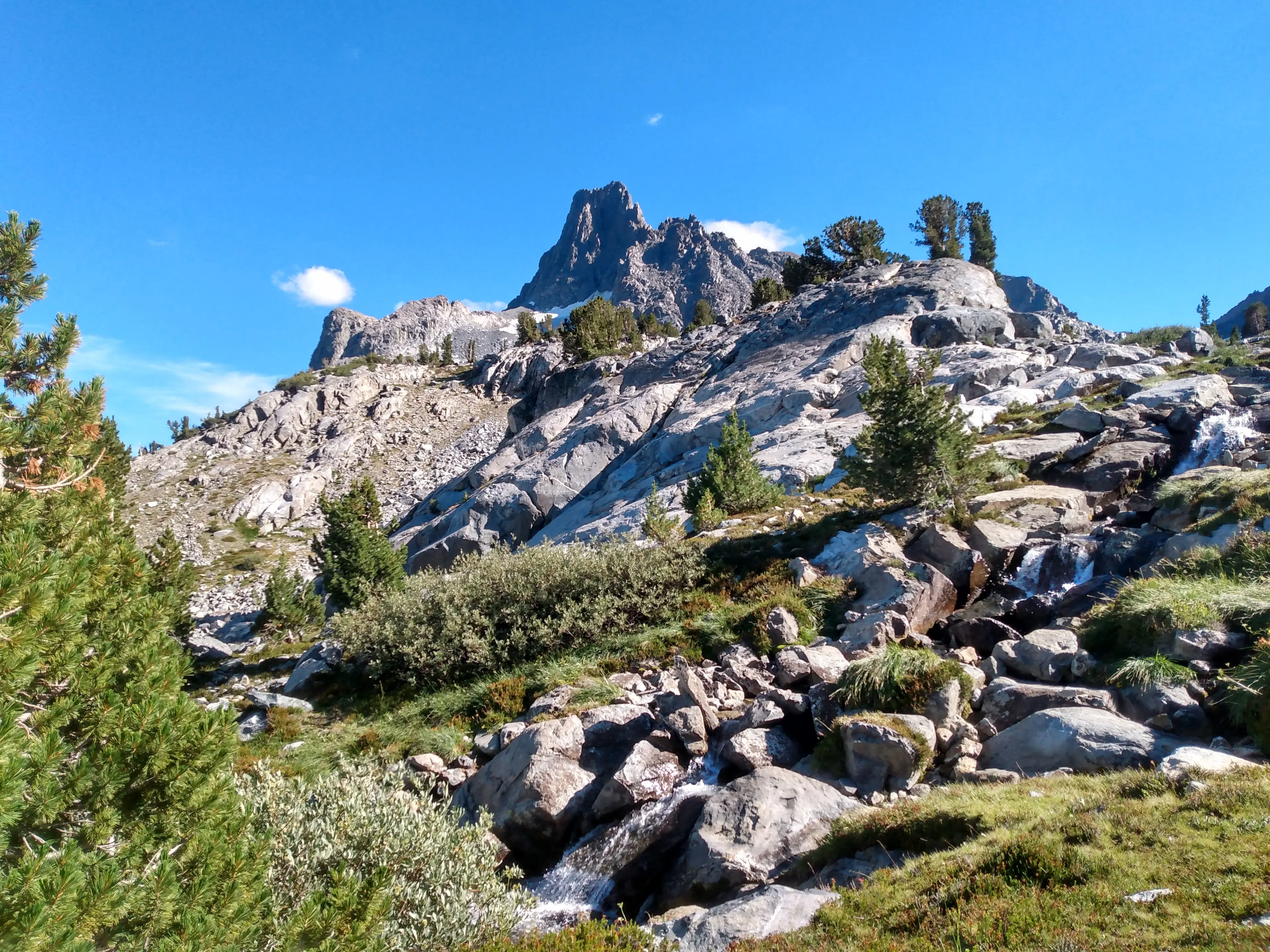
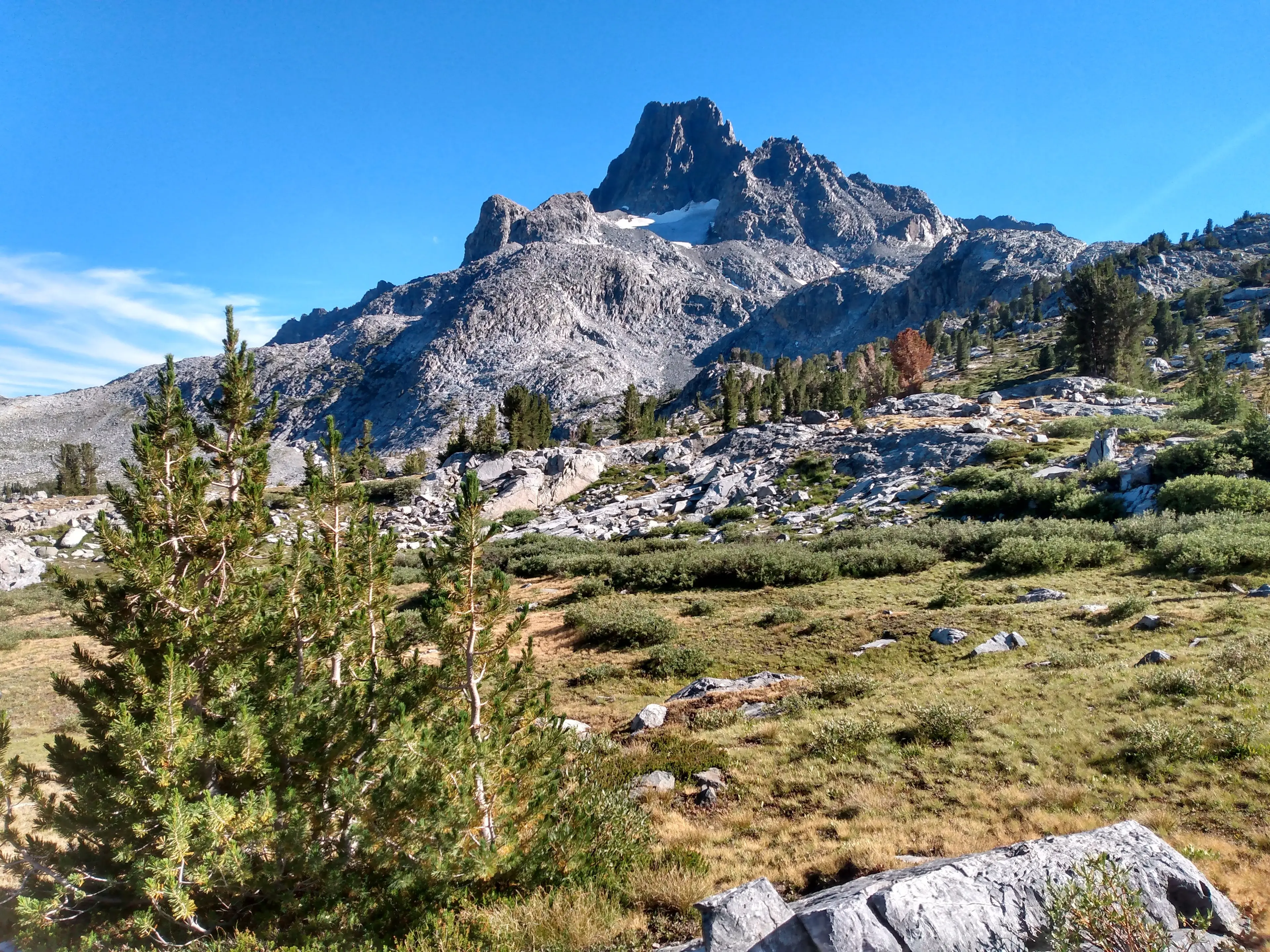
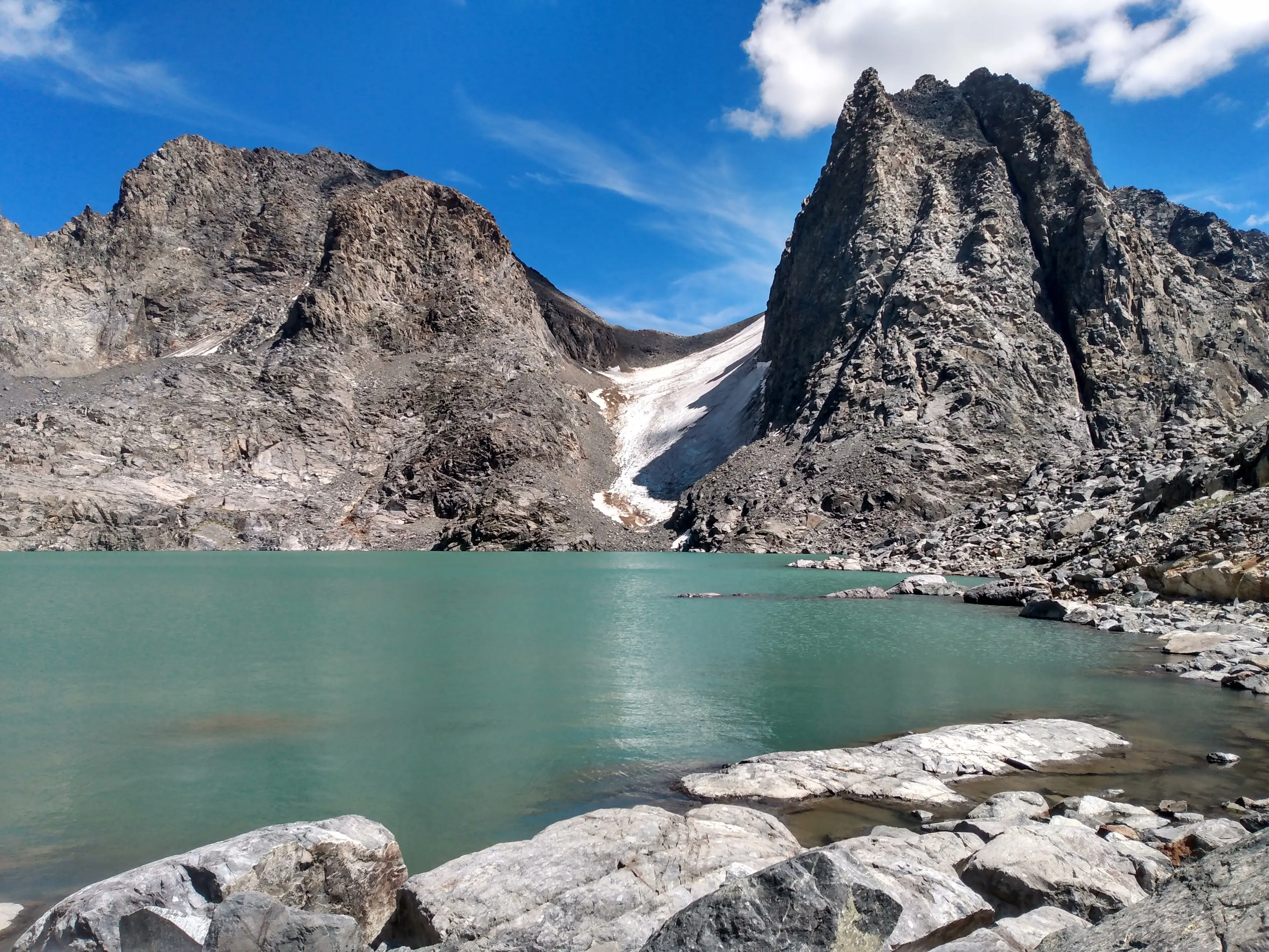
Clyde Minaret (#243), Mount Ritter (#244), Banner Peak (#245), Mount Davis (#246)
August 11, Day 117
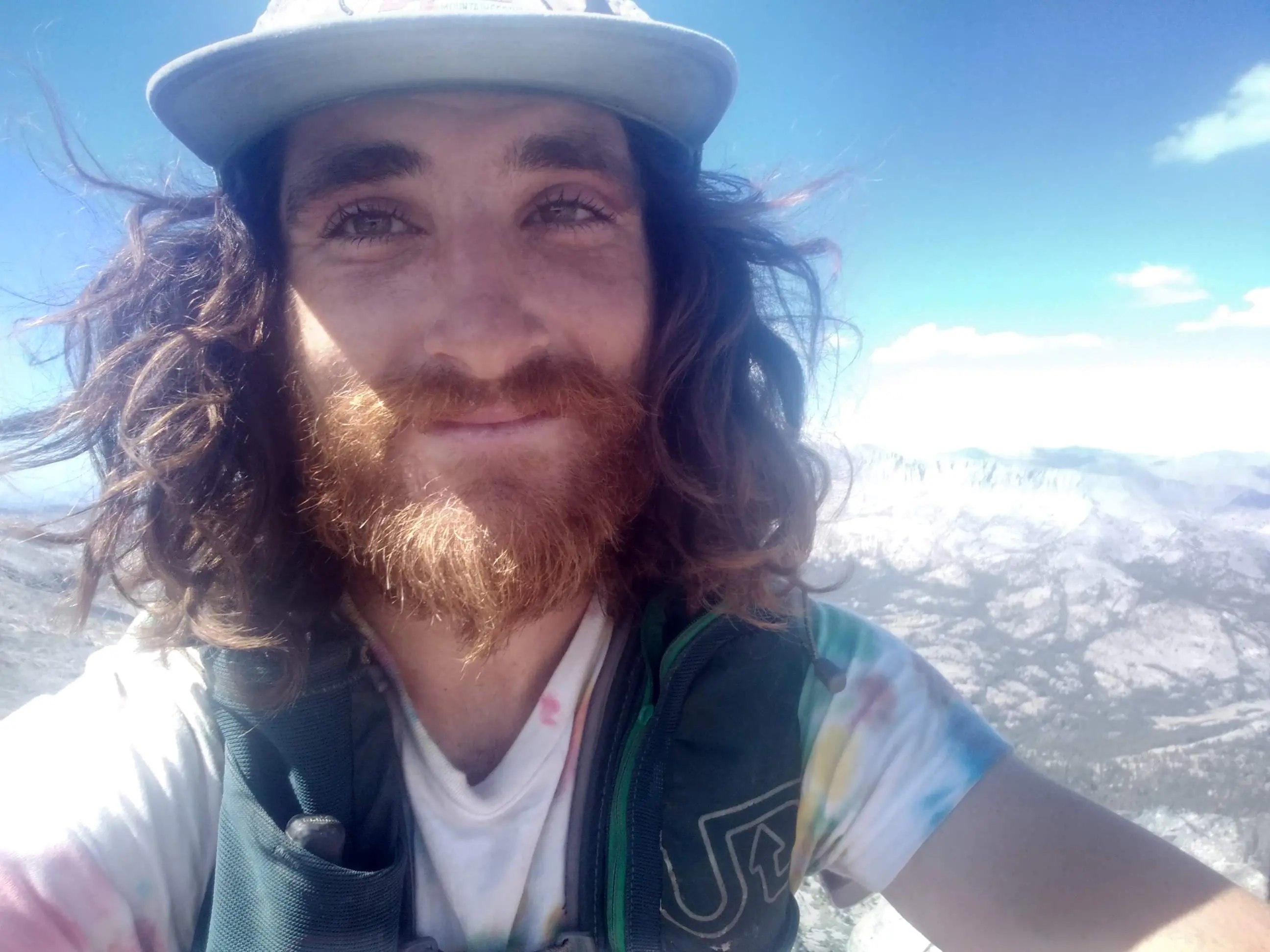
After climbing Iron Mountain I cruised down the road to Agnew Meadows from Devil's Postpile National Monument. It was late afternoon and I planned on charging my inReach, packing my day pack, making dinner, and going to bed early. Tomorrow was the final big linkup of the project. I would attempt to climb Clyde Minaret, Ritter, Banner, and Davis in a car to car push of 30 miles, 11k elevation gain, and a bit of technical scrambling. It would be tough but nothing could stop me: I only had 5 SPS peaks left! I forced myself not to celebrate too early. Anything can happen out in the mountains and I needed to stay focused on executing the task ahead.
I had service at the Agnew Meadows trailhead and called my parents. They just arrived in Los Angeles to visit my sister Julia. My brother Alex had also made the journey from Rhode Island. Tomorrow, while I was questing my way through the mountains, they would be driving up the 395 towards Mammoth Lakes. I was beyond excited to see them, and if all went as planned tomorrow, the day after that we would all climb San Joaquin Mountain; my final peak of the list.
"Be sure to stop in Lone Pine and look for Mount Whitney on your way up. Oh, and basically every high points along the east side is a mountain I climbed." My family would witness a very tangible representation of what I had been up to the past four months. Every time I drive the 395 it blows my mind to think I had been up every major mountain on the east side.
After talking with my family, I heard a familiar voice and looked around my van. It was a friend and two other folks. They had been mushroom hunting and offered me a few slices of King Bolete. We caught up and they left as it got late. I read for a bit, set my alarm, and went to bed.
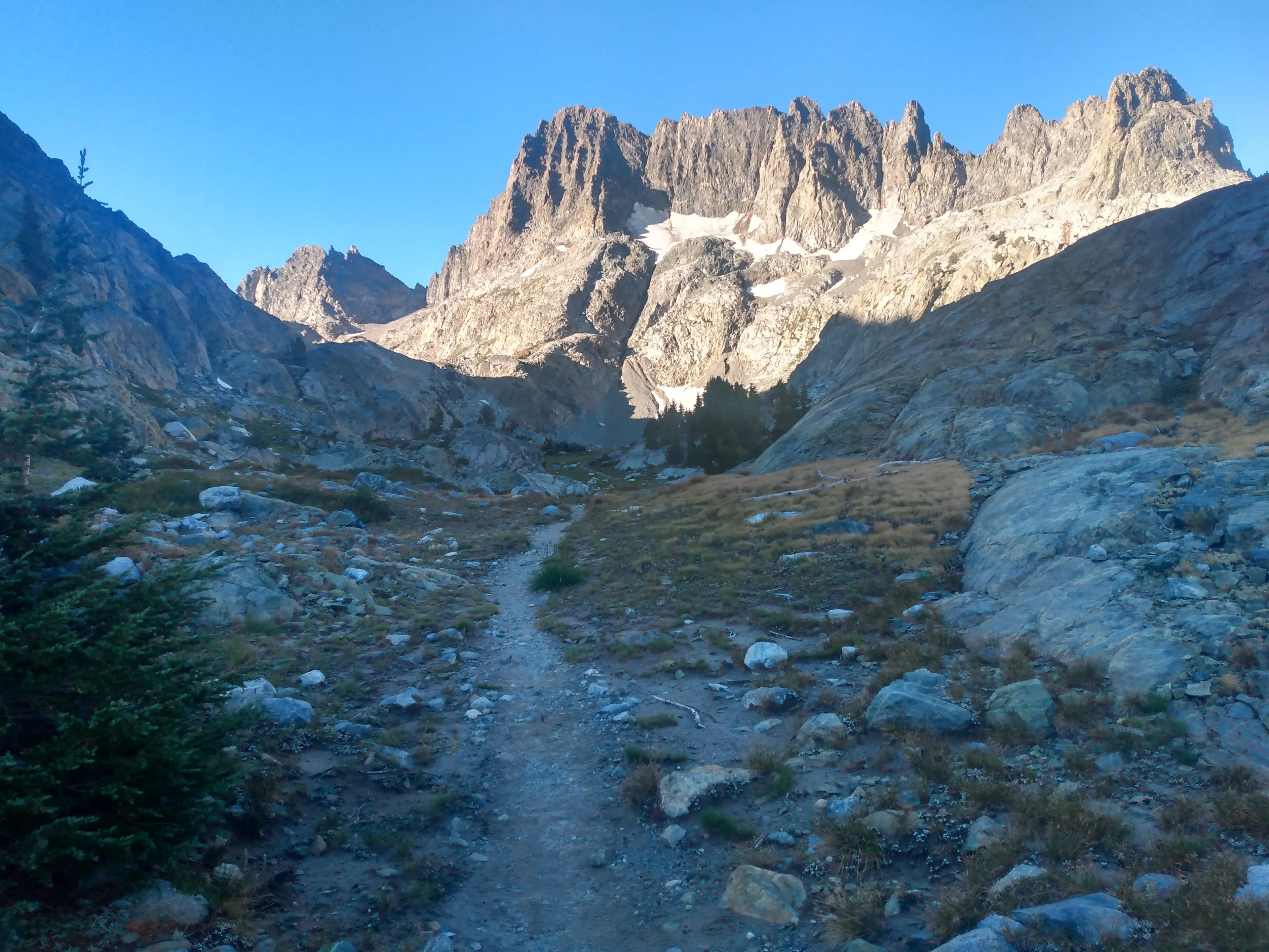
My inner clock woke me up a minute before my phone did. It was 5:25am and the darkness was starting to give way to a dull morning light. I began walking 20 minutes later. The trail weaved past a foggy meadow where horses were waking to greet the day.

I moved at a brisk pace, trying to at least maintain 3.5 miles per hour on the ups and 4 mph on the flats.
Since today was the last big day I planned on pushing myself beyond the usual 75% maximum effort.

I didn't need to save my energy for the weeks ahead, I could crash and burn all I wanted, and I was psyched!

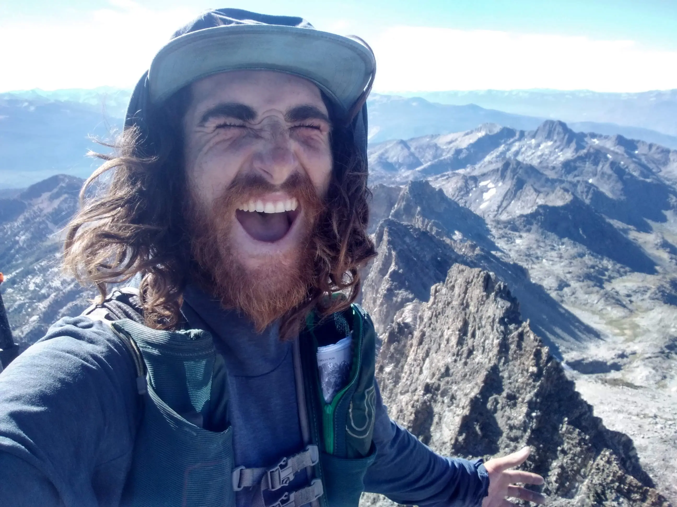
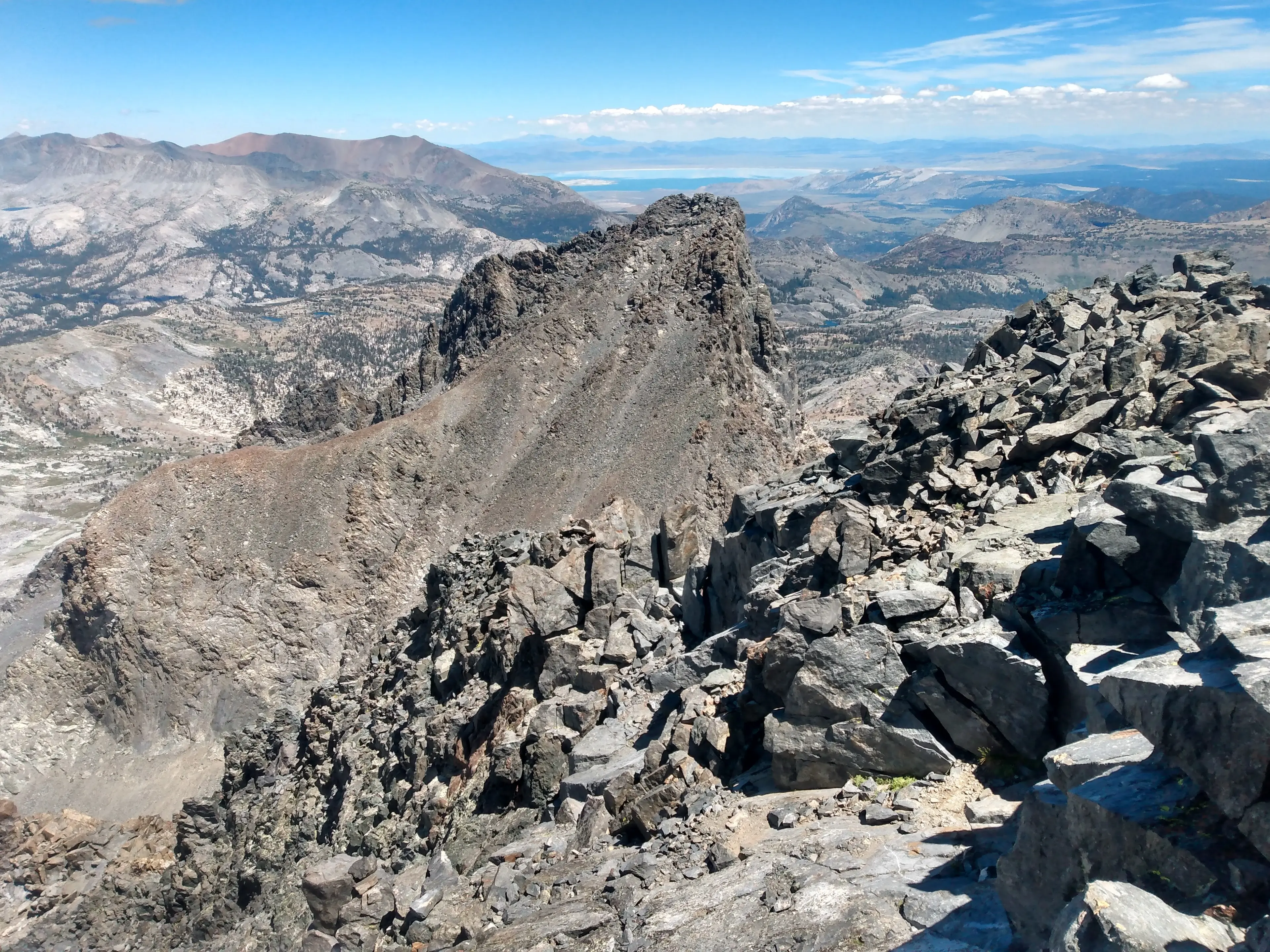
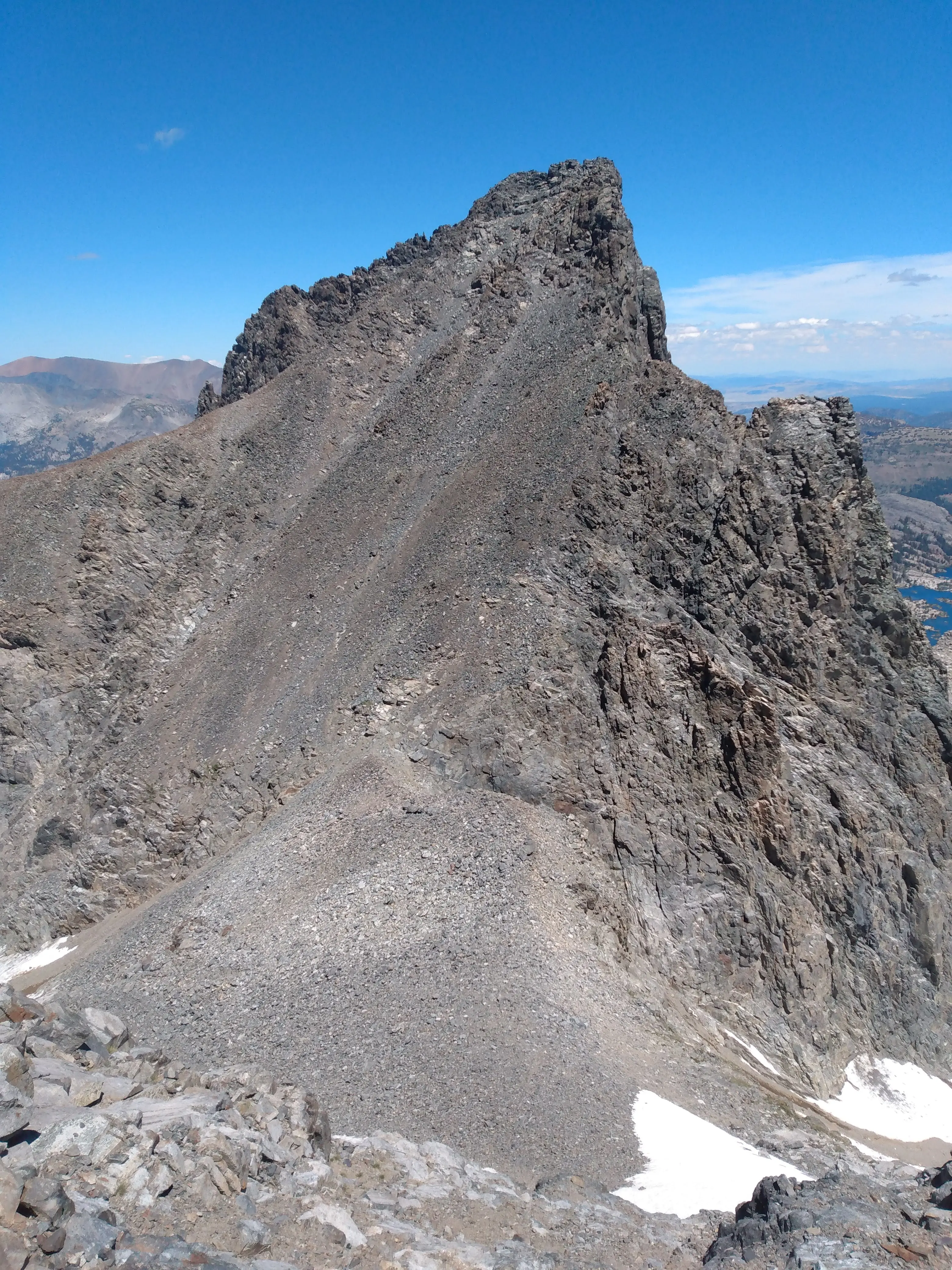
I reached the base of Clyde Minaret around 8am and approached the rock route. The route is a 4th class scramble up the Northeast face and it was surprisingly fun! I climbed up the 5th class chimney variation and then connected it back to the standard route. I reached the top of Clyde around 9:30am just over 3 hours and 30 minutes from the car, not bad.
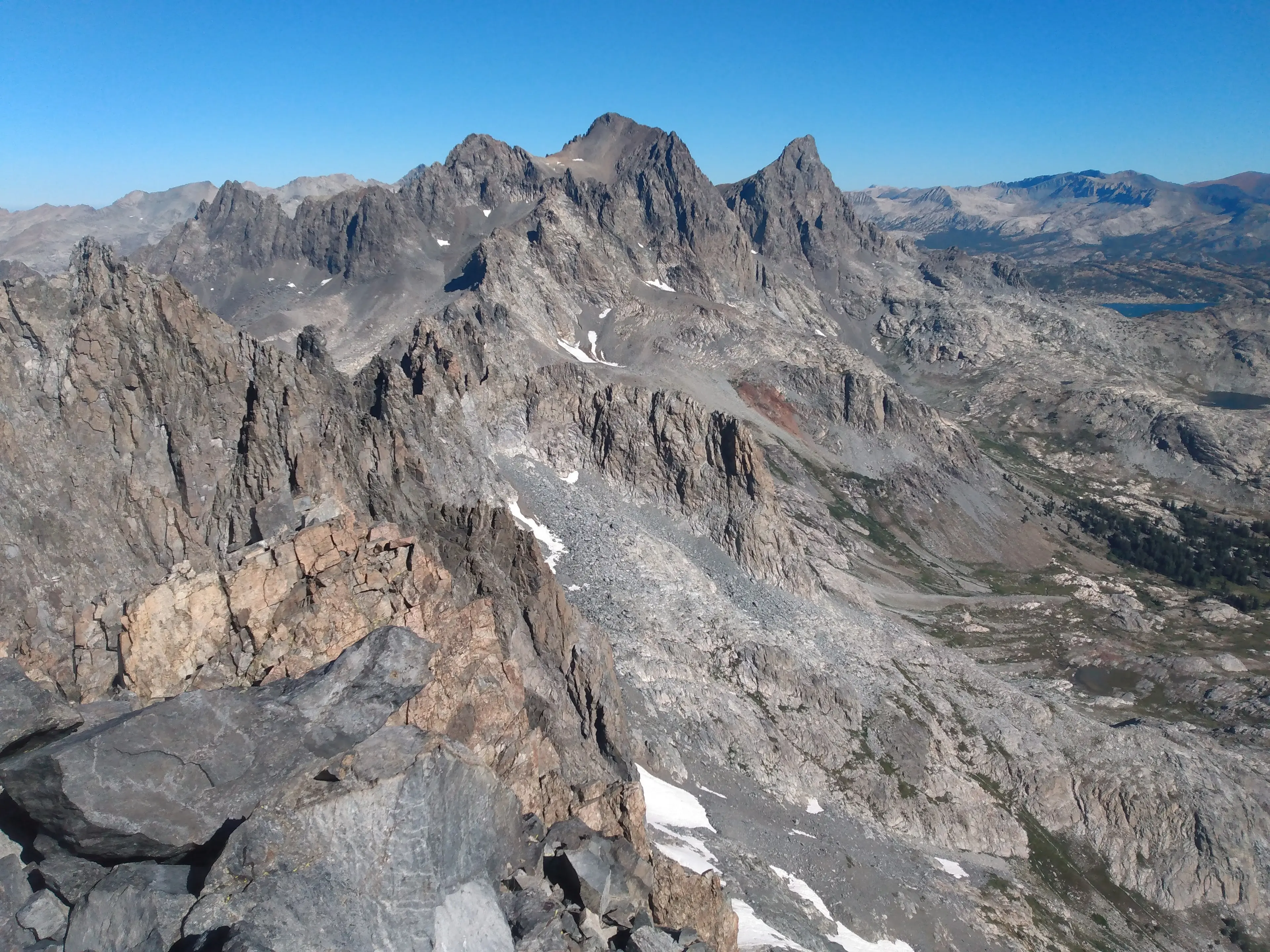
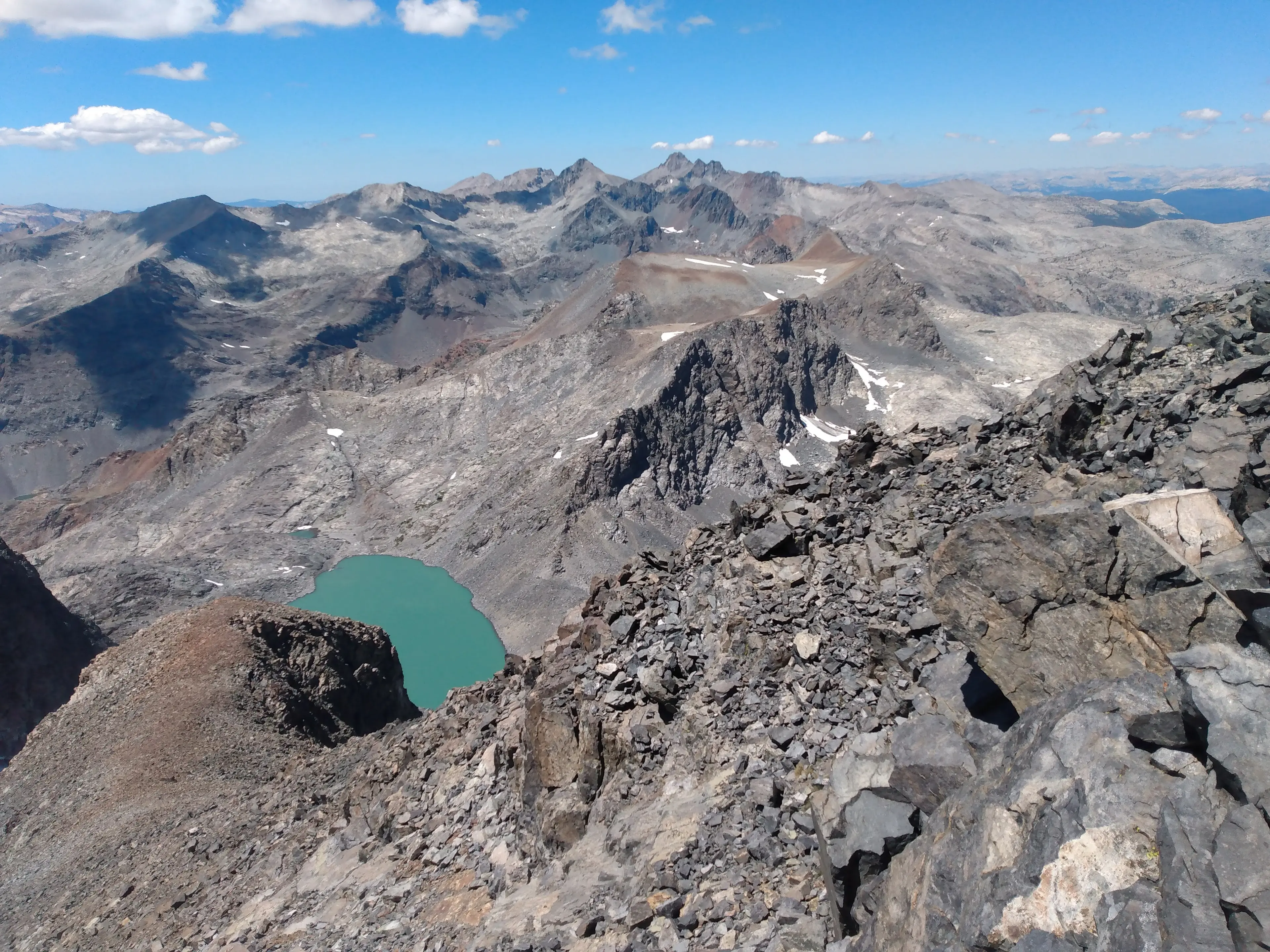
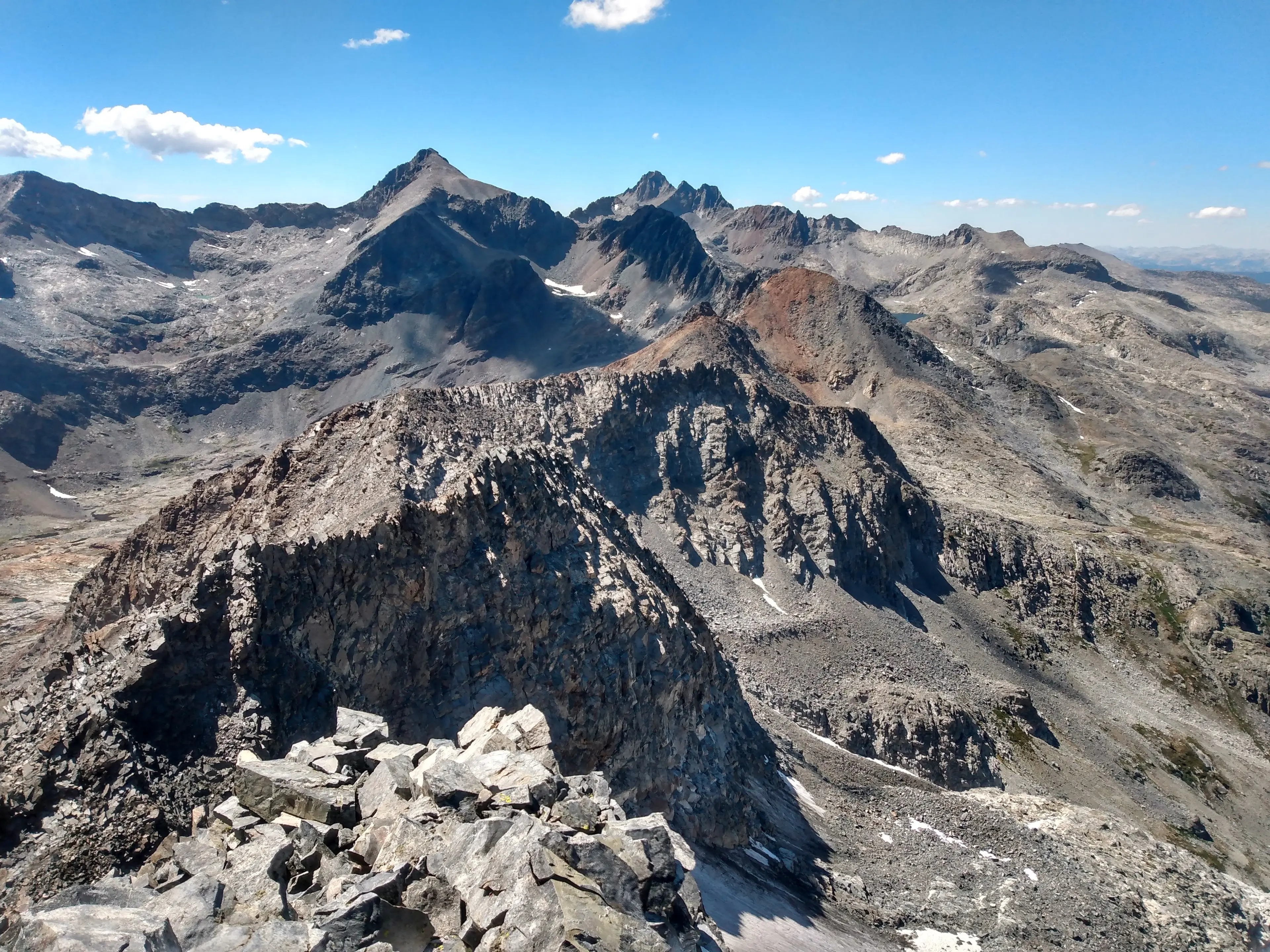
Finally I was up in the Minarets! The ridge to the north and the south of Clyde boasted dark and serrated towers, sort of like a mini Palisades.
Someday I would be back for the full Minaret traverse but today I had other mountains to climb.
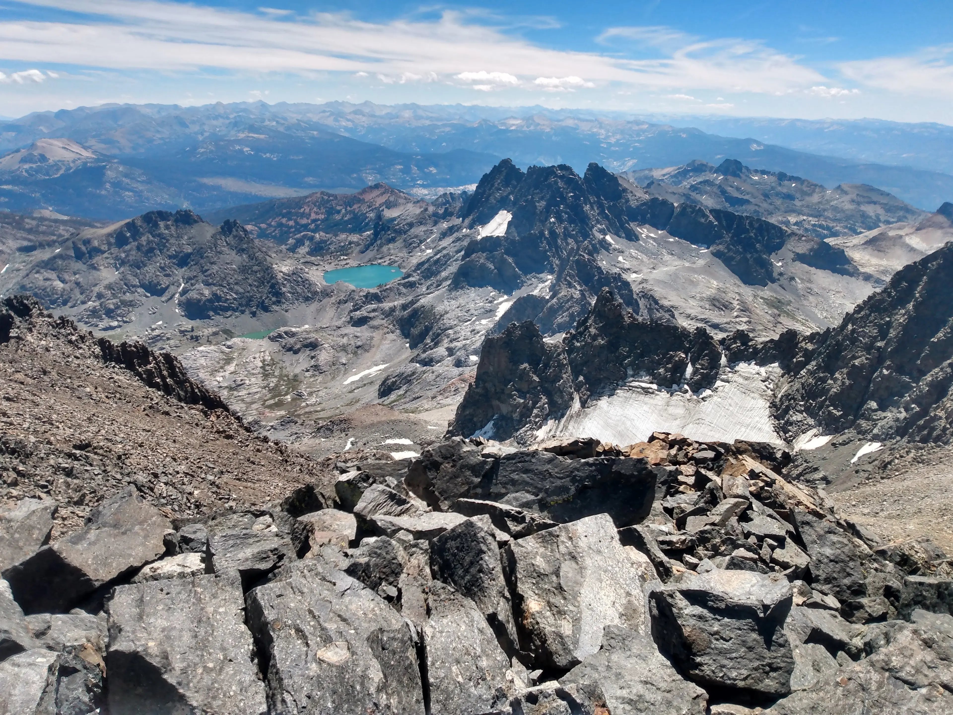
I eyed up a high traverse over to Ritter. Initially I had planned to drop all the way back to the valley and climb the Southeast Glacier but this new alterative was quite tempting. It looked like I would have to cross a few mini glaciers and navigate some cliff bands but otherwise would be fine. What the heck, today is my last day it doesn't matter if I epic, I reasoned with myself. I went for it!
From the base of the rock route on Clyde I high traversed a rocky bench over to Ritter. Every time I rounded a corner and it seemed like I would get cliffed out but somehow I found a reasonable way across.

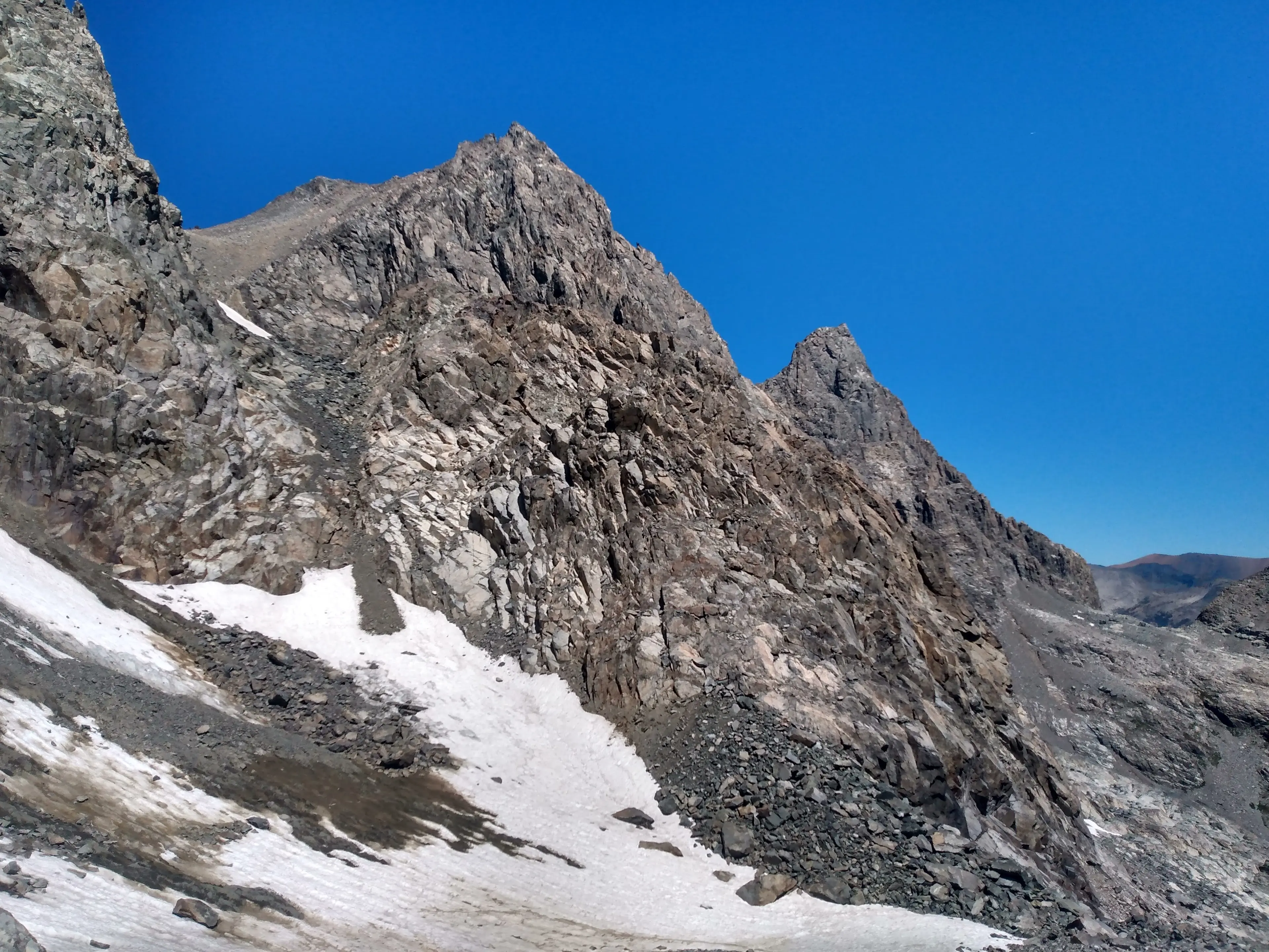
Eventually it linked up with the Clyde variation on the south side of Ritter. The traverse had went and it even saved me time and effort! I called it Travis's Traverse variation.
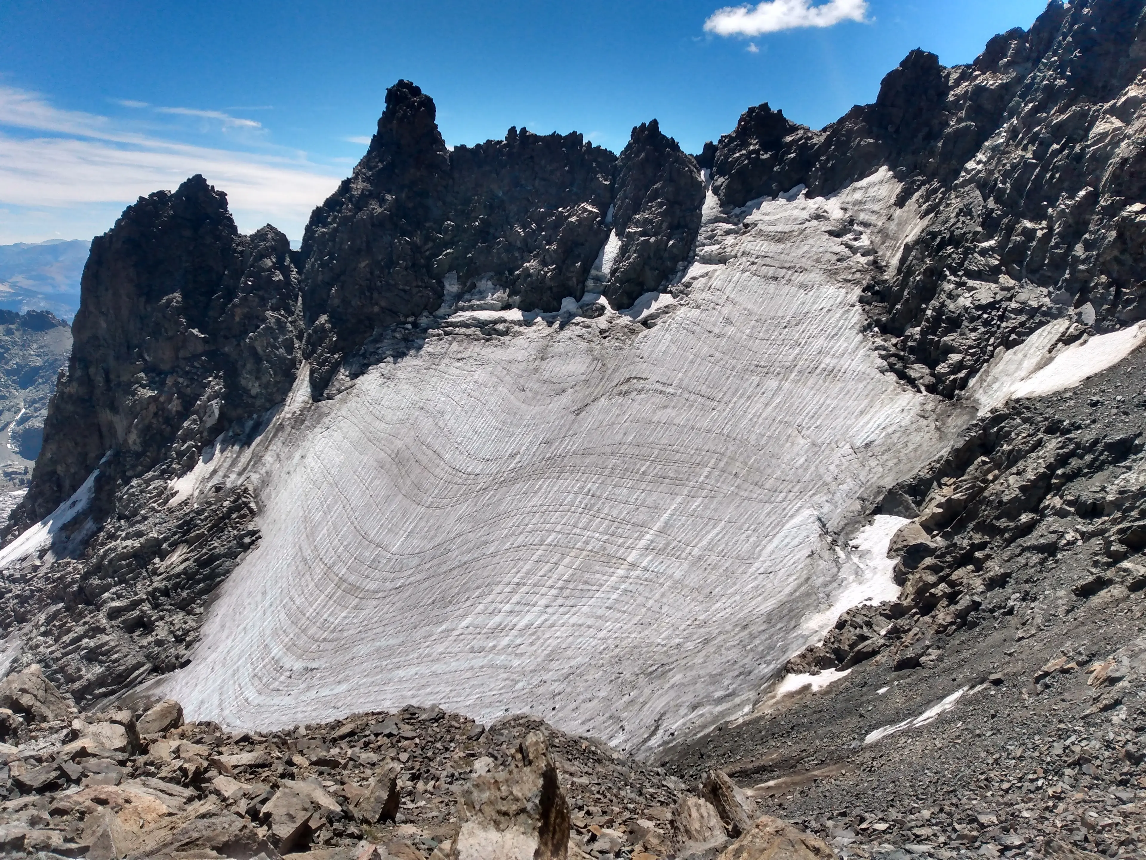
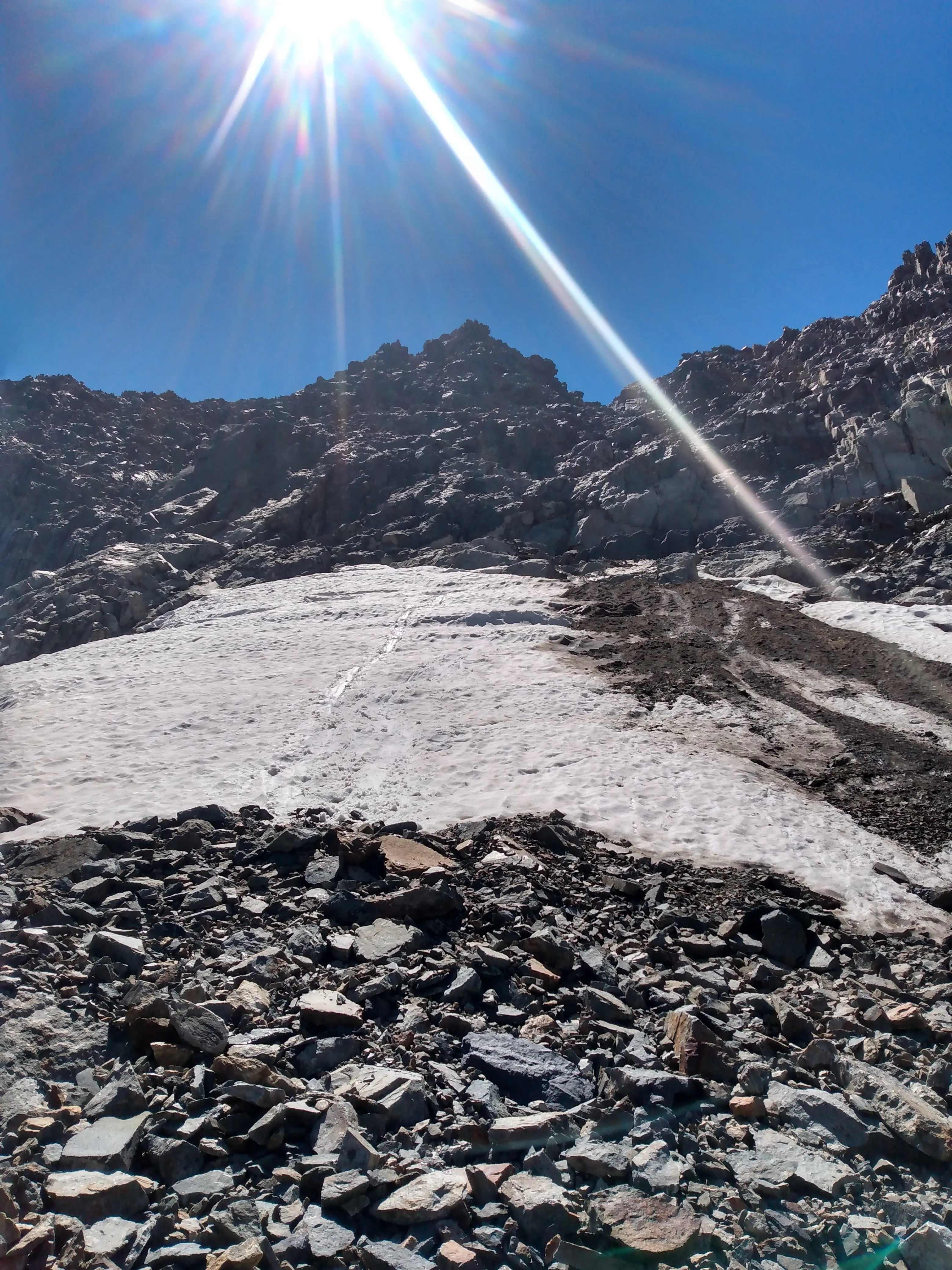
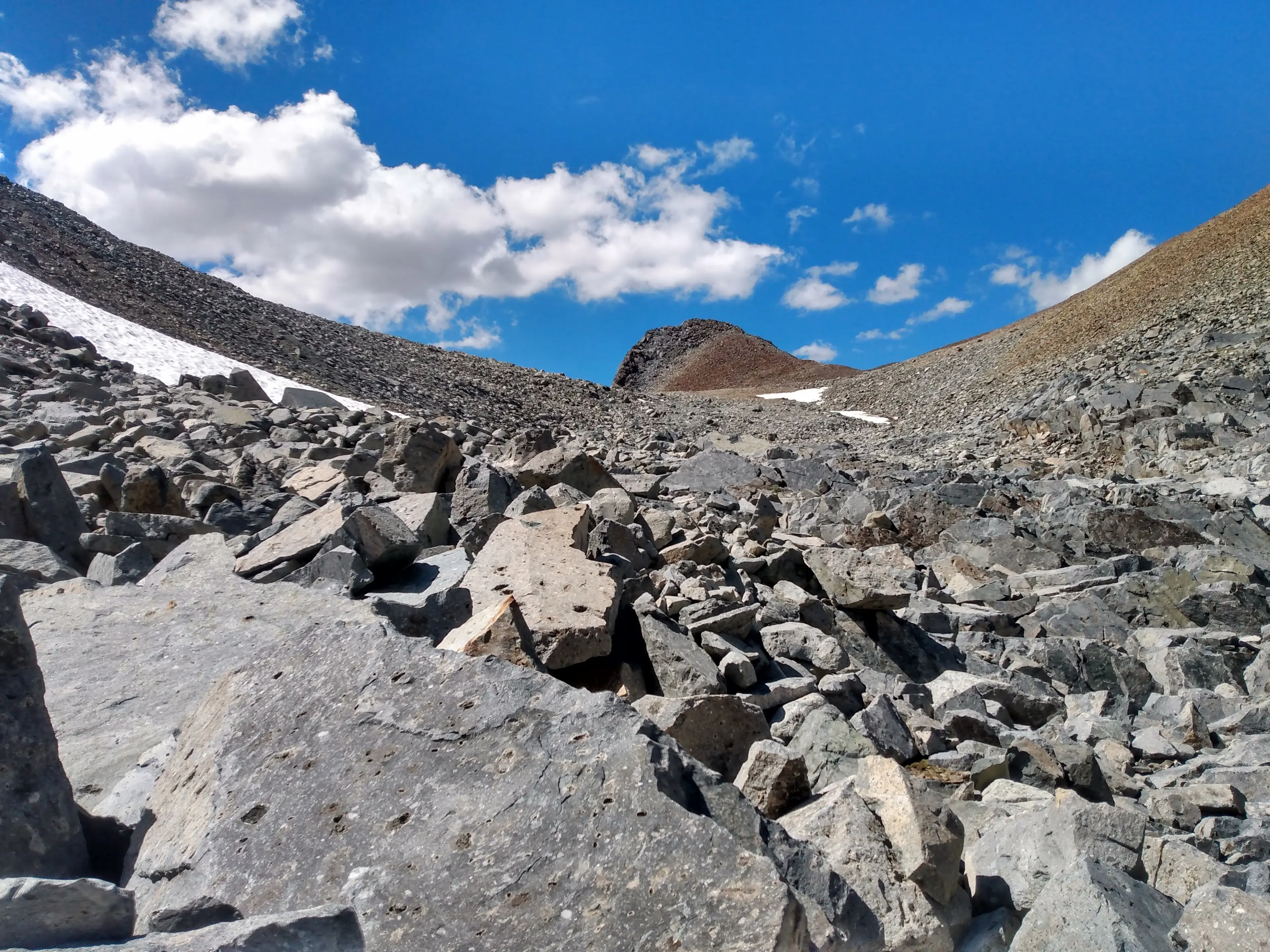
I continued up the Clyde variation to the glacier. Unfortunately there was an icy section of about 100ft between me and the soft snow. I probably could have proceeded carefully through this without crampons but since it was steep I decided just to put them on. At this point in the project it wasn't worth the risk.
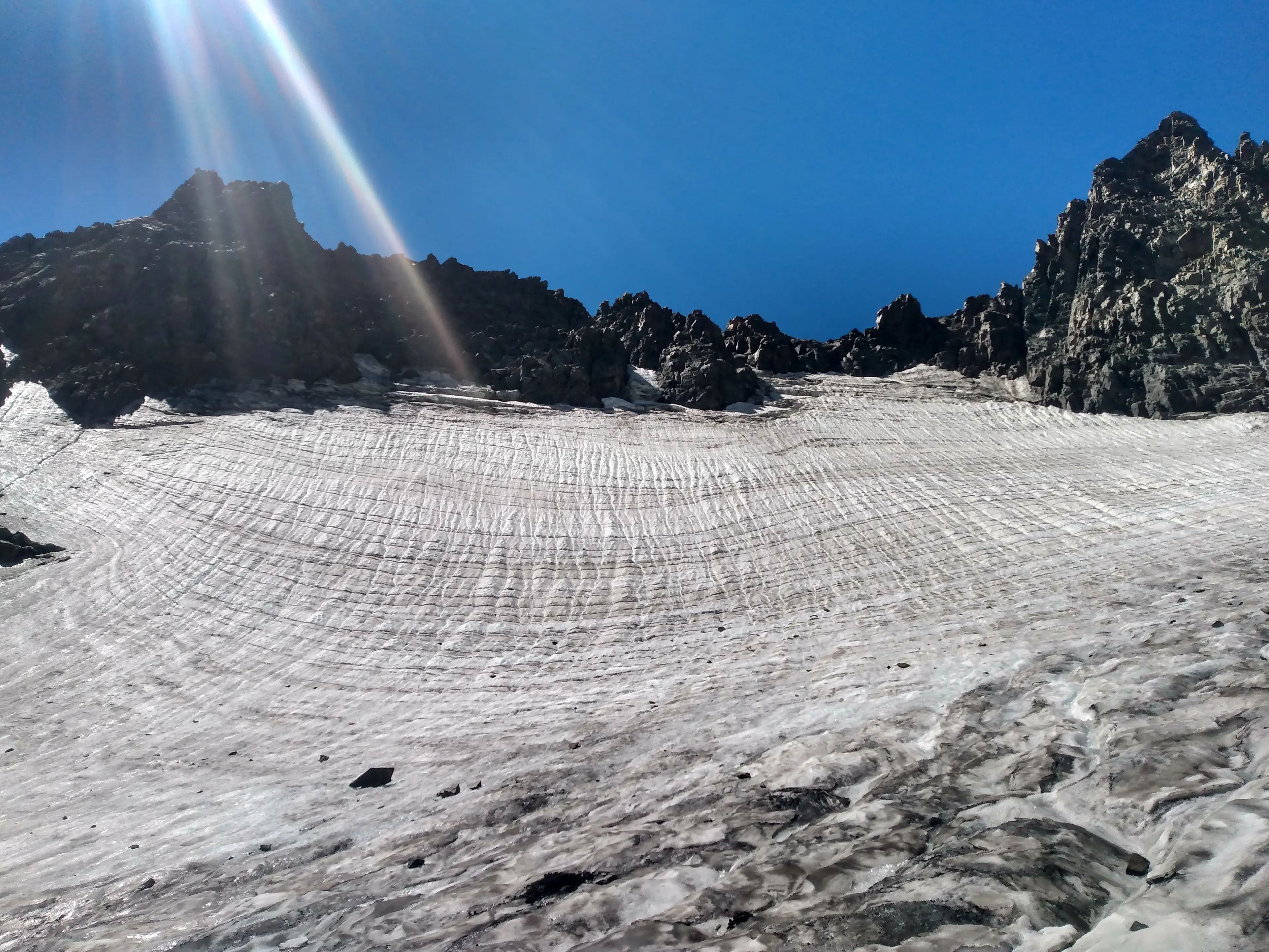
I cruised over to and then up the glacier to the south slope of Ritter. This is an easy class 2 slog.
On my way up I felt a few tears making their way to the surface but I forced them down, it was still too early to celebrate and lose focus.
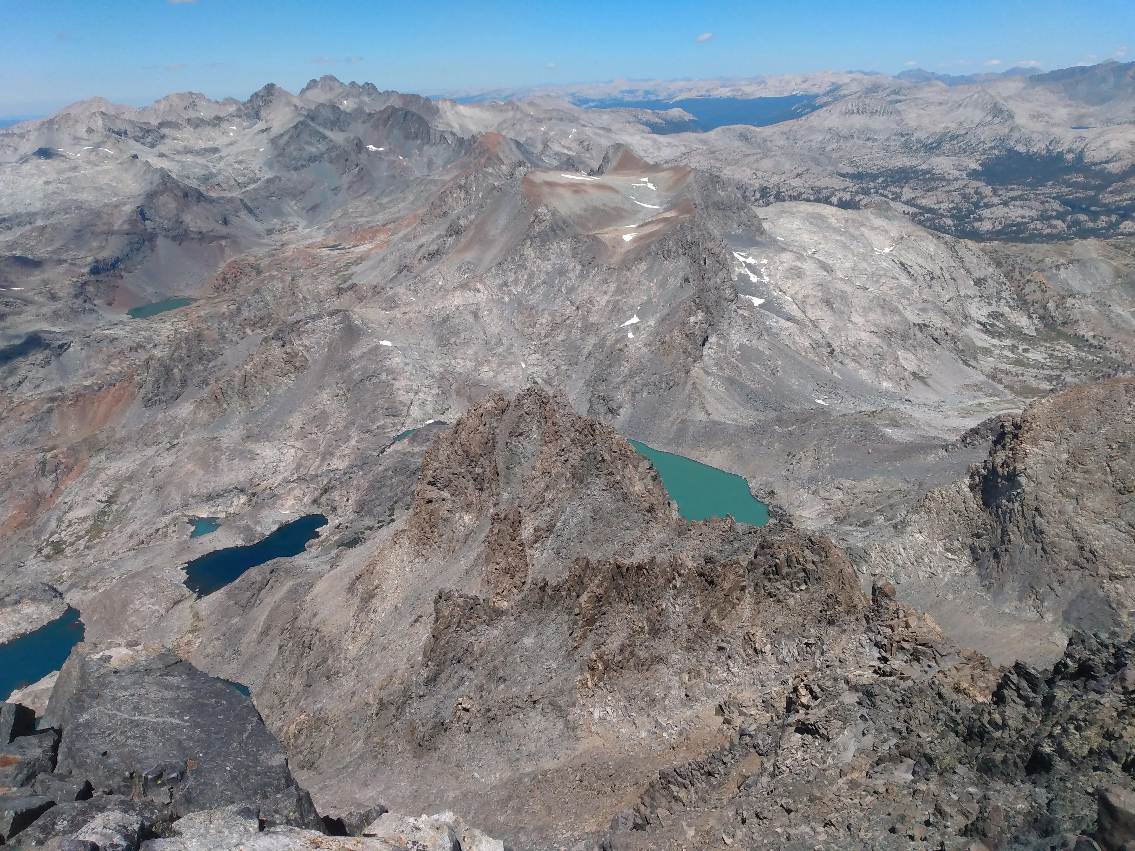
I reached the top of Ritter around 12:30pm, 6 and a half hours into the day. Since I was ahead of schedule I allowed myself to take in the view, enjoy the summit, and reflect on my relationship with the mountain.
Last year I had run out to Lake Ediza intent on climbing Ritter. For some reason I stopped at the base of the mountain and just sat there for a while. Climbing Ritter just didn't feel right in that moment. I remembered reading John Muir's account of climbing Ritter in high school and it had completely captured my imagination. It is believed he made the first ascent of the mountain in 1872. Years later I saw the mountain for the first time at age 19 when I arrived in the Sierras for an alpine mountaineering class with Prescott College. I didn't climb Ritter on that trip but vowed I would be back. Climbing Mount Ritter represented fulfilling a teenage dream I had concocted down at sea level when I had known nothing of the alpine world. So when last summer I finally had my chance and it didn't feel right I had always wondered why; until now.
Ritter was my last 13,000ft peak of the project. It was the climax of my adventure. Finally I had arrived at the top of this mountain after dreaming about it for 10 years. Again I felt tears of joy fighting their way to the surface. This time I let them.
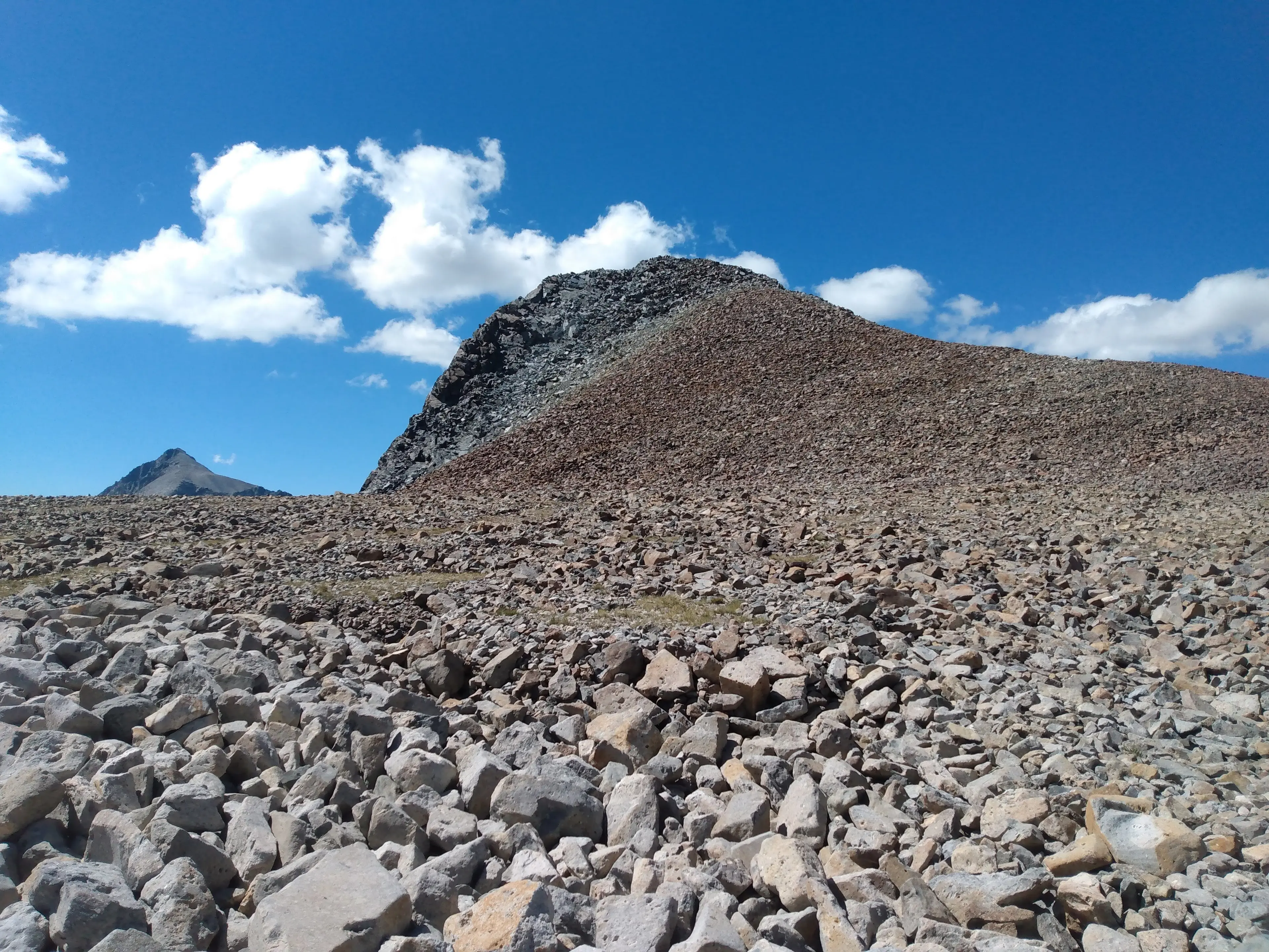
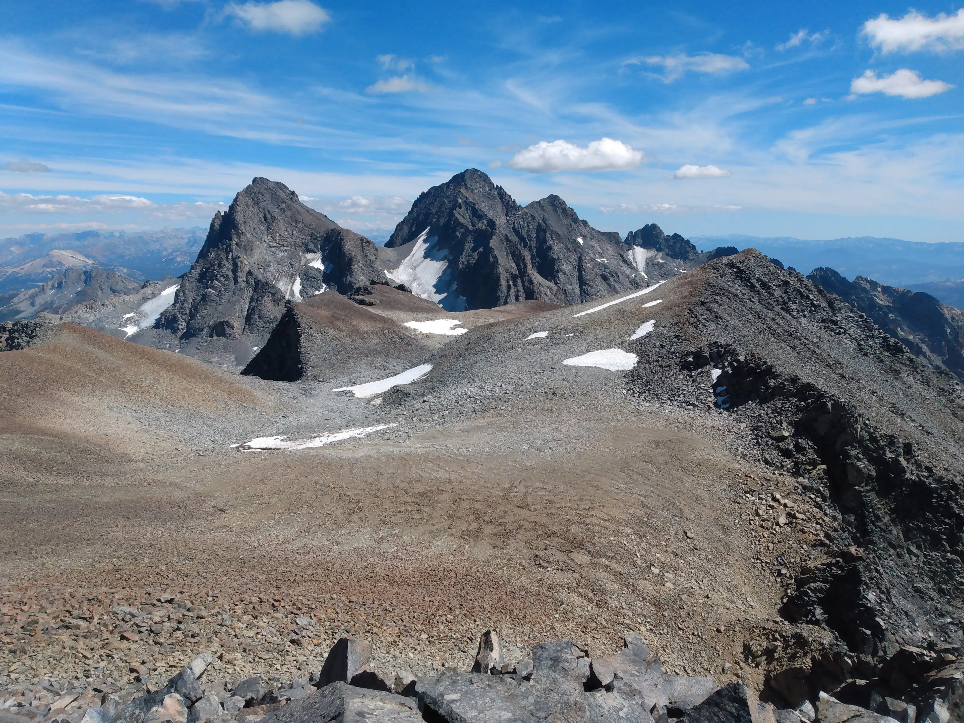
I allowed myself to enjoy the moment but then reigned my emotions back in. I still had two peaks to climb and many miles back to the van. I descended off the North face of Ritter to the saddle.
From there it was a class 2 hike up Banner and I reached the summit around 1:30pm.
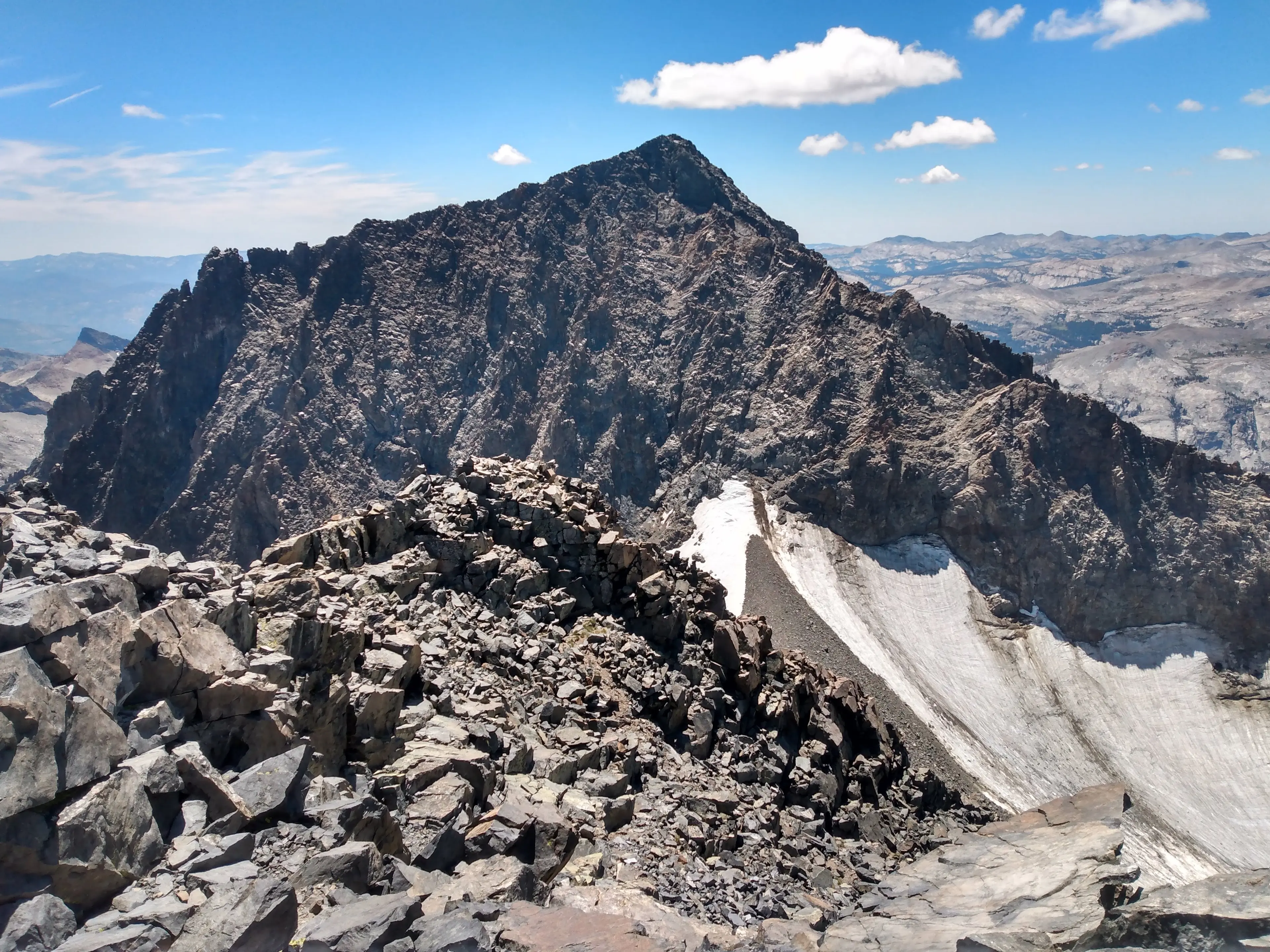

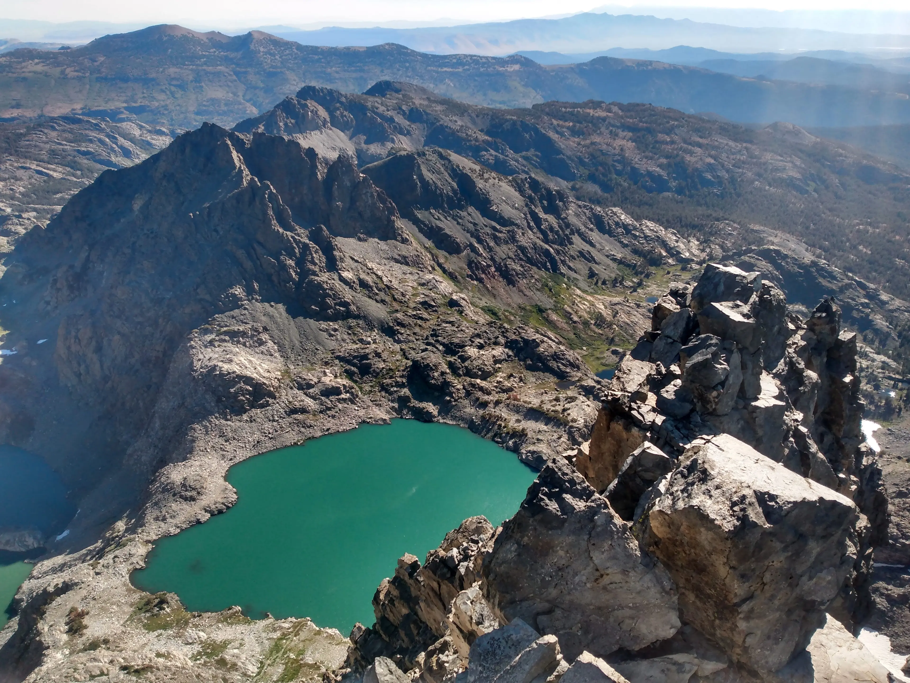
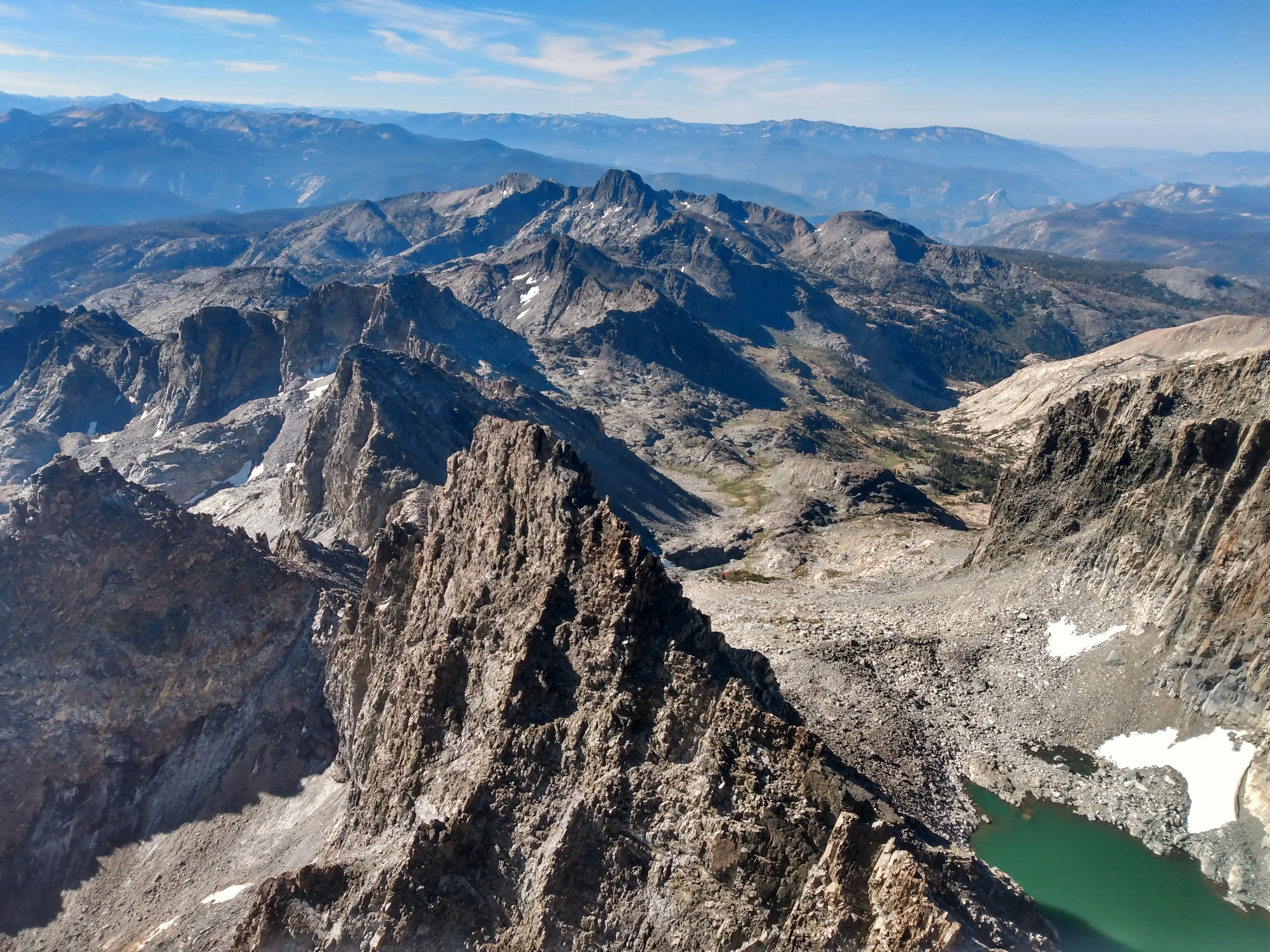
I planned my route to Davis from my vantage point and hiked back to the saddle. From there I descended the northwest glacier to Lake Catherine. Water flowed down the glacier and sculpted the snow into a beautiful series of chutes.
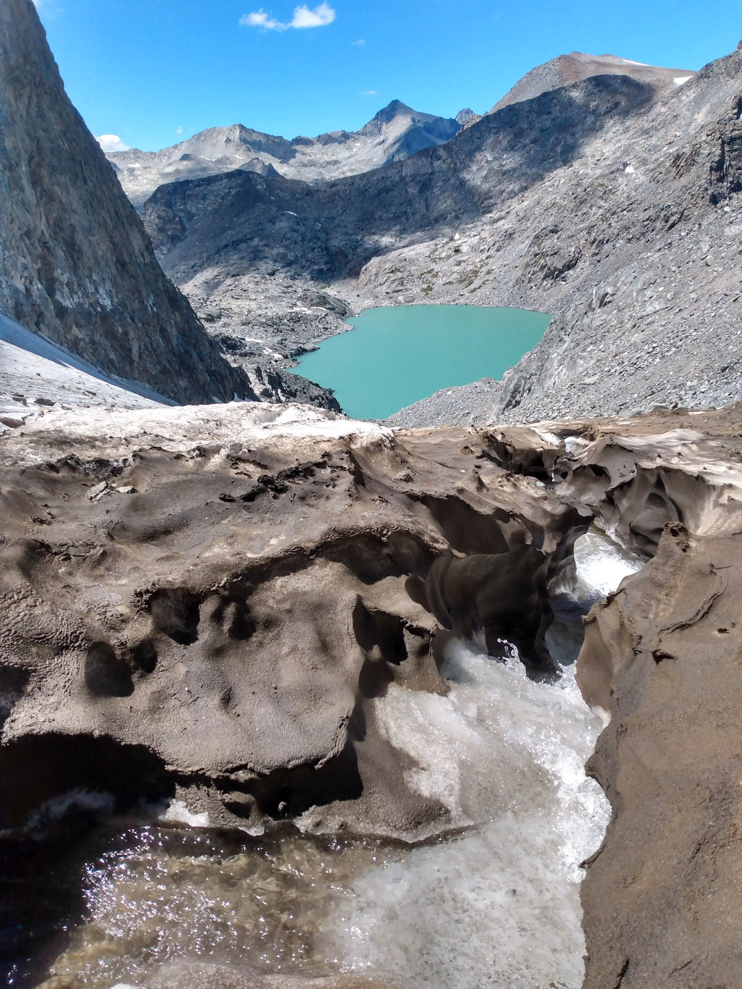
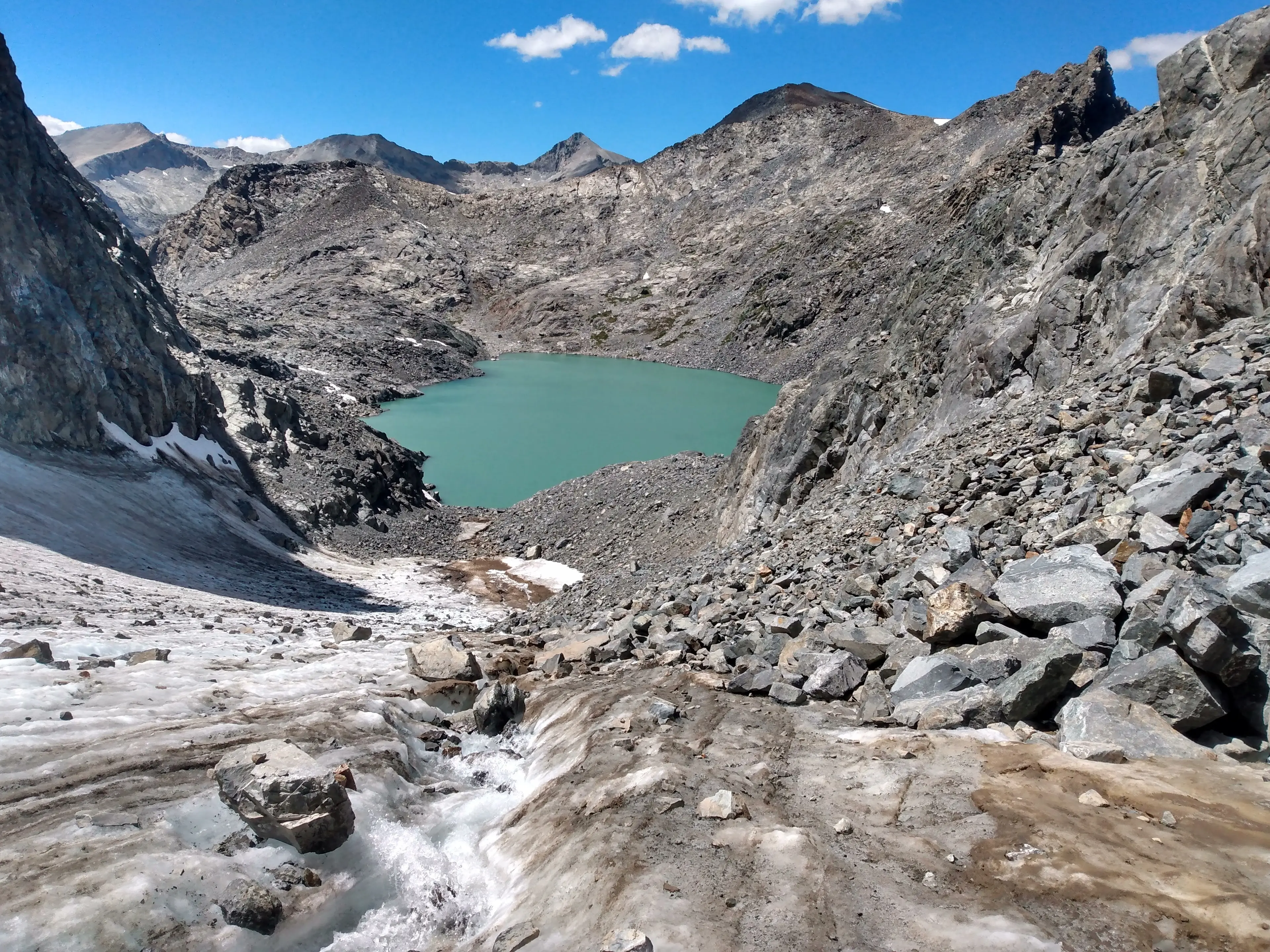
I gathered 2 liters of glacier water to share with my family. It was some of the best tasting water I've ever had.
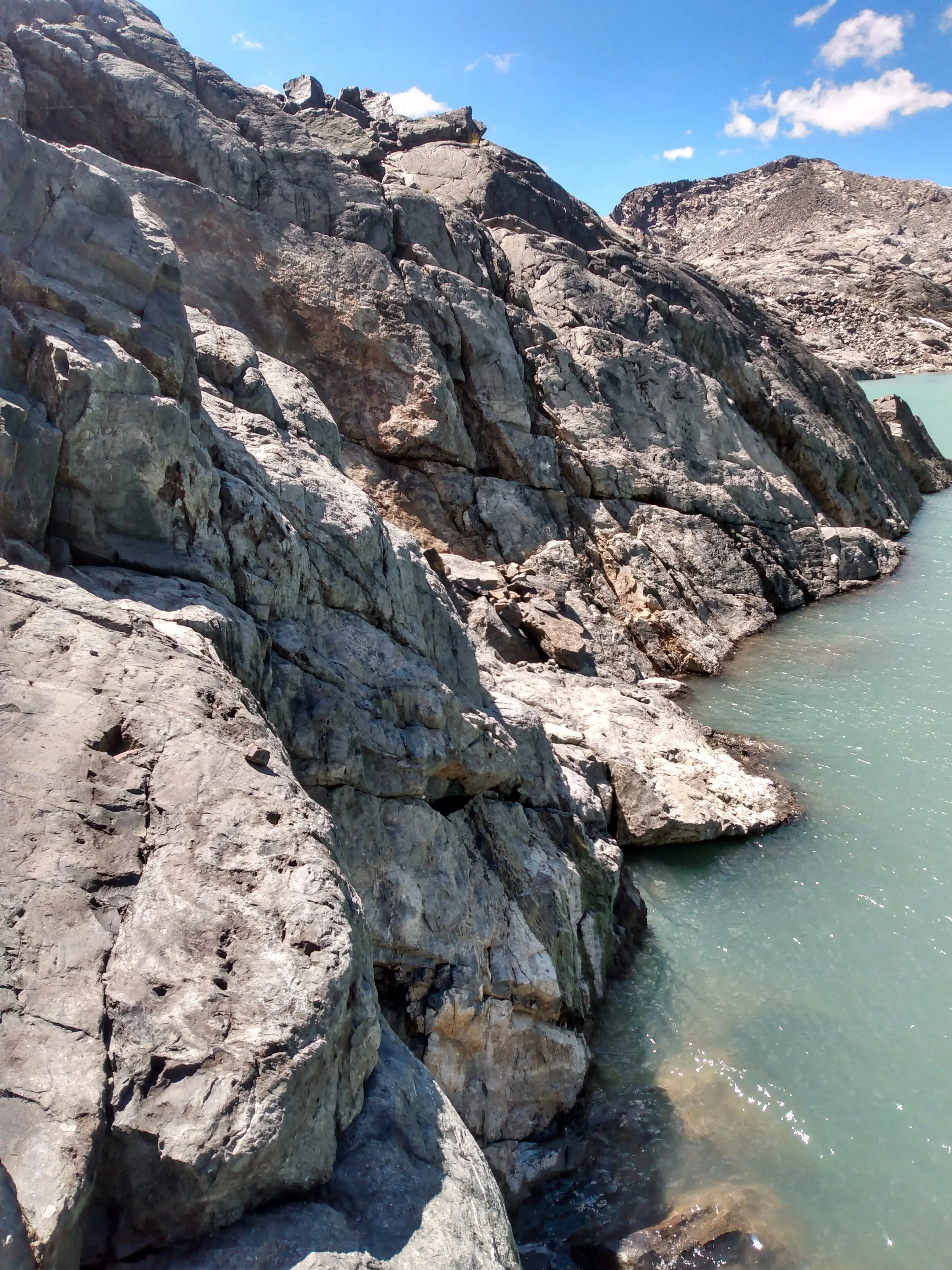
I went west around the lake and ended up getting slightly cliffed out. No matter, the wall had positive holds and below me was water to catch a possible fall. Nothing like a pitch of deep water soloing mid peak linkup!
On the other side of the lake I began the easy climb up Davis.
This was the second to last peak, and the final one of the day. Emotions flooded through me like water flowing through the glacier. This time it couldn't be stopped, I didn't want to stop it. I had earned these tears.
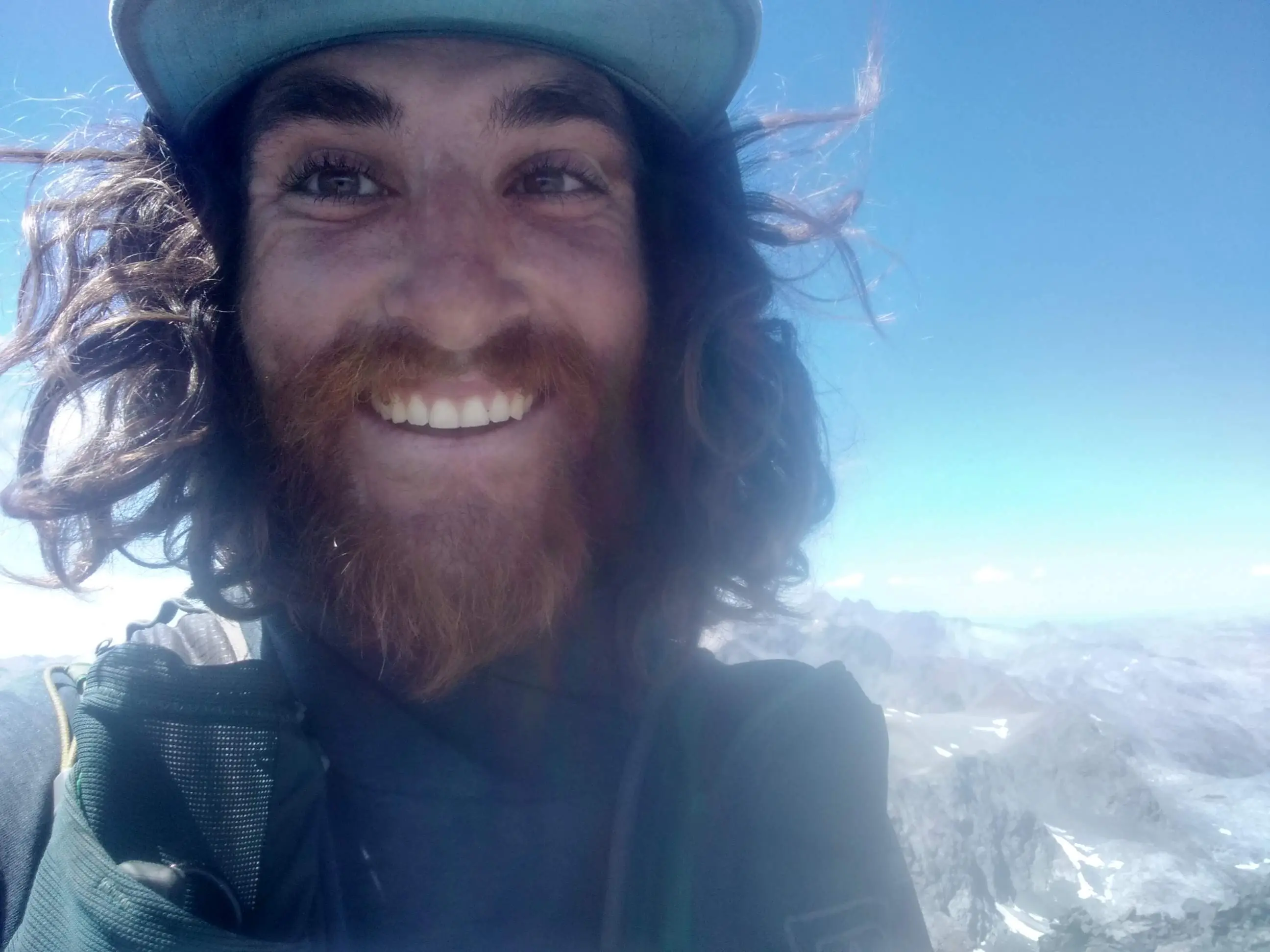
I sobbed my way to the top of Mount Davis around 3:30pm, 9 hours and 30 minutes into the day. The linkup was done, the final major hurdle had been cleared. All that was left was an easy hike with my family tomorrow. While San Joaquin was technically my last peak, standing on top of Davis felt like the finish line. The last question mark had turned into a checkmark.
I had overcome every doubt, every difficulty, every climb. I had pushed myself and pushed myself and pushed myself for four months to arrive on this mountain. My body shook in the pure ecstasy of knowing I had given it my all and had refused to quit. It was one of the best moments of my life.
I felt my phone vibrating, it was Dan. I picked up and spoke between sobs. "Thank you so much. I appreciate your support throughout this project, it has changed my life." Dan said he had enjoyed doing it and was happy for me. We hung up and I reflected on the experience. I thought about how incredibly grateful I was for Dan. He truly is an amazing person to have generously supported this project. I could not have done it without him.
I spent more than an hour up there on Mount Davis. I still had 12 miles back to my van but I didn't care, I had earned this moment.
I could see Mount Maclure which had been my 100th peak. It felt like an eternity ago since I had been up there. What a journey…
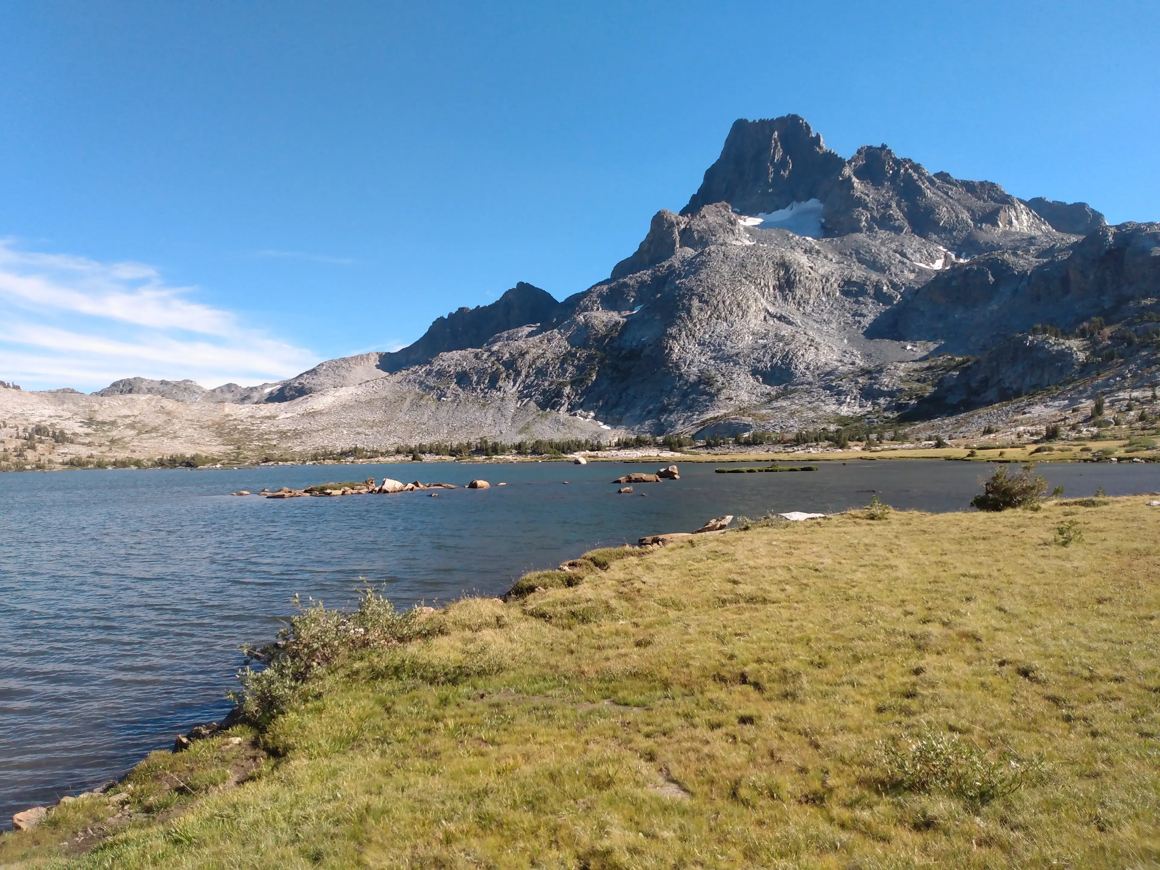
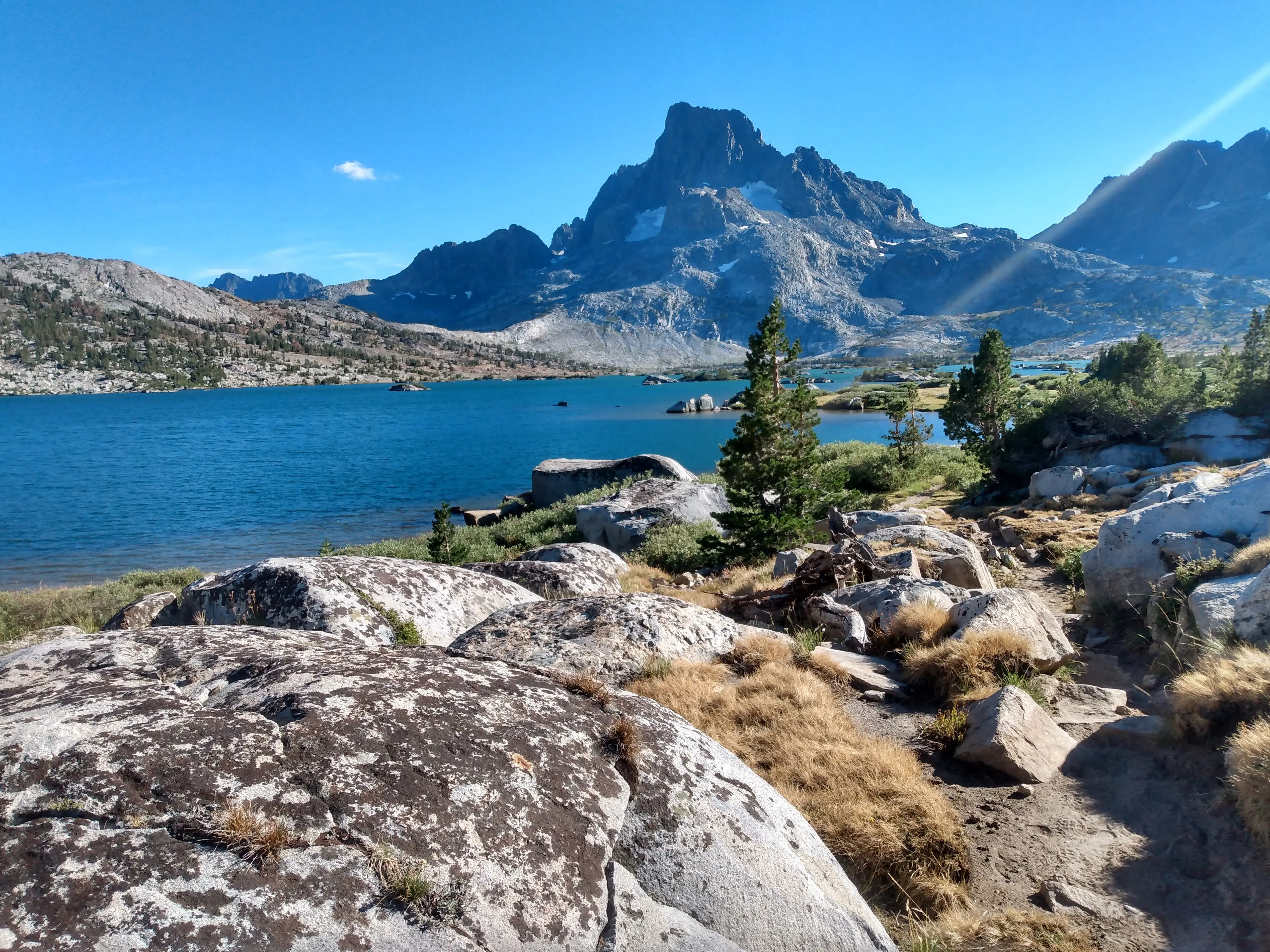
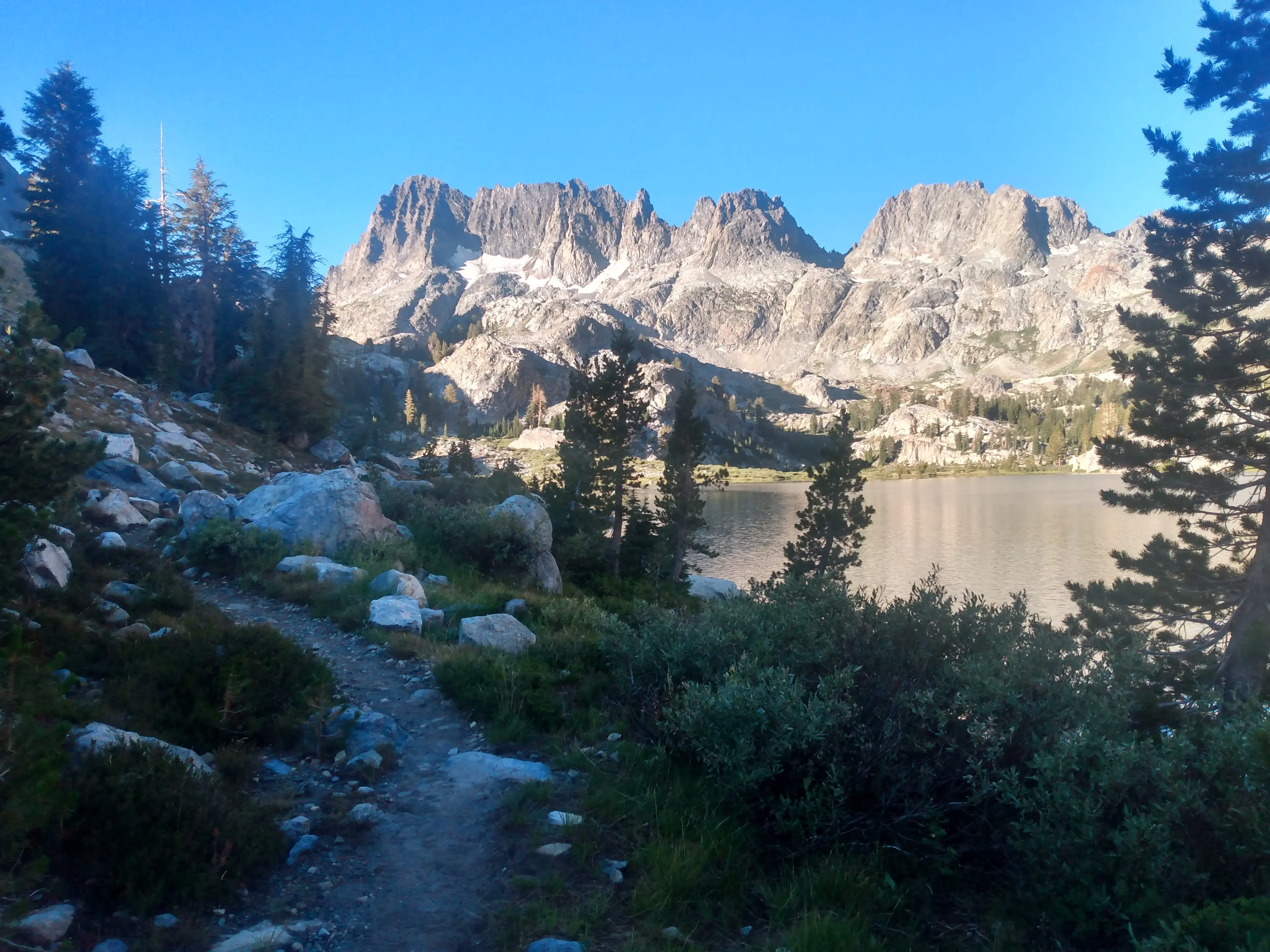
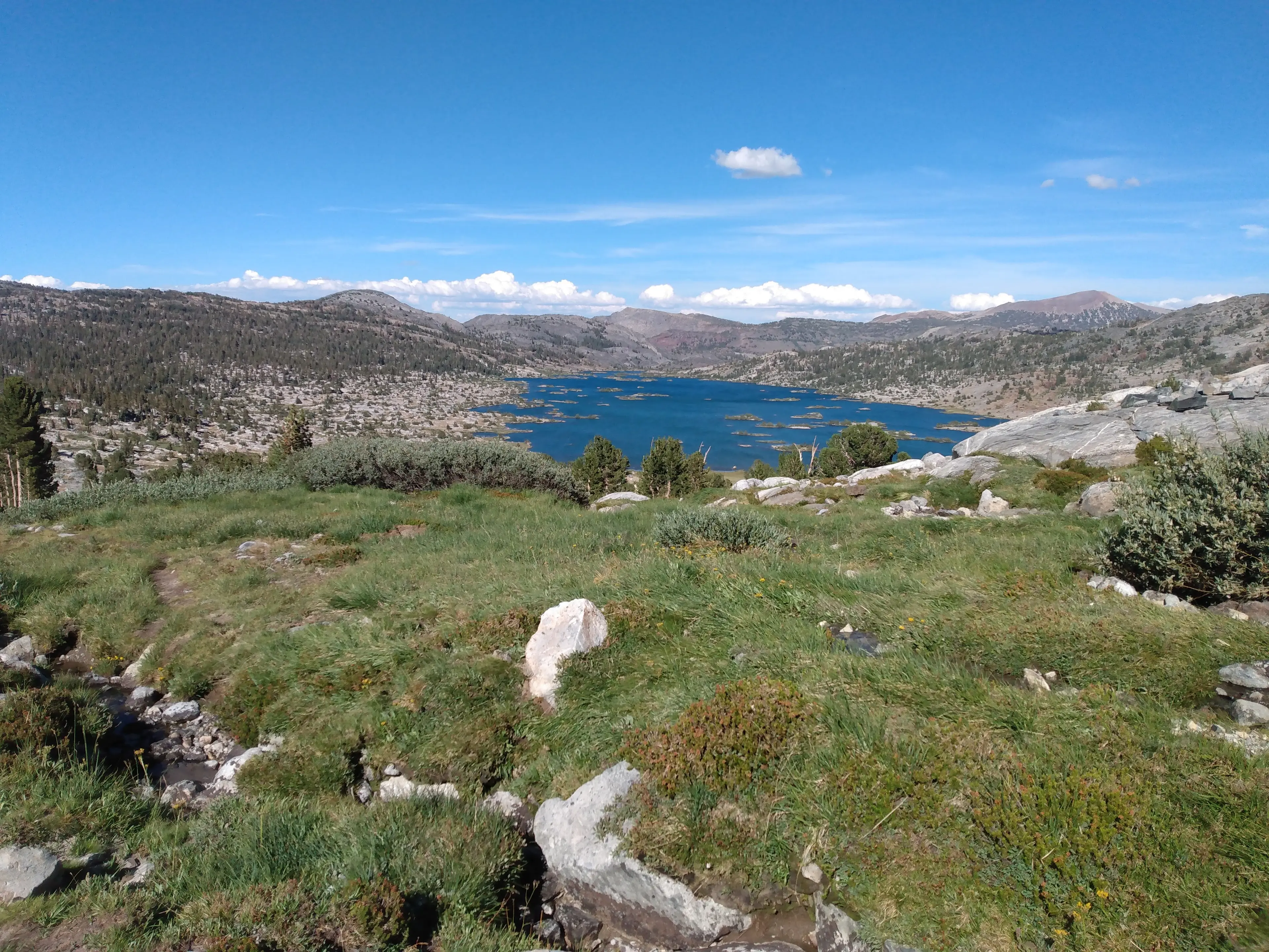
Eventually I left the summit. I could feel my weary legs seizing up. I made my way over North Glacier Pass and down to Thousand Island Lake were I hopped on a trail.

My parents would be arriving soon so I ran all the way back to the van. It felt so good to move fast, although apparently I had forgotten how to run because I wiped out a few times. Once at the van I drove to the AirBnB my parents had booked and greeted my family. It was so good to see them. We caught up, ate dinner, and talked about our plan for San Joaquin.

My brother and I started a game of chess that lasted until midnight and had ended rather anti-climatically in a stalemate. It was time for bed and I knew tomorrow would be another magical day.
View the activity here.